Air Ambulance Helicopter to East Meon, Greenway
Sunday, 25 January 2026 | 15:08 | From Weyhill
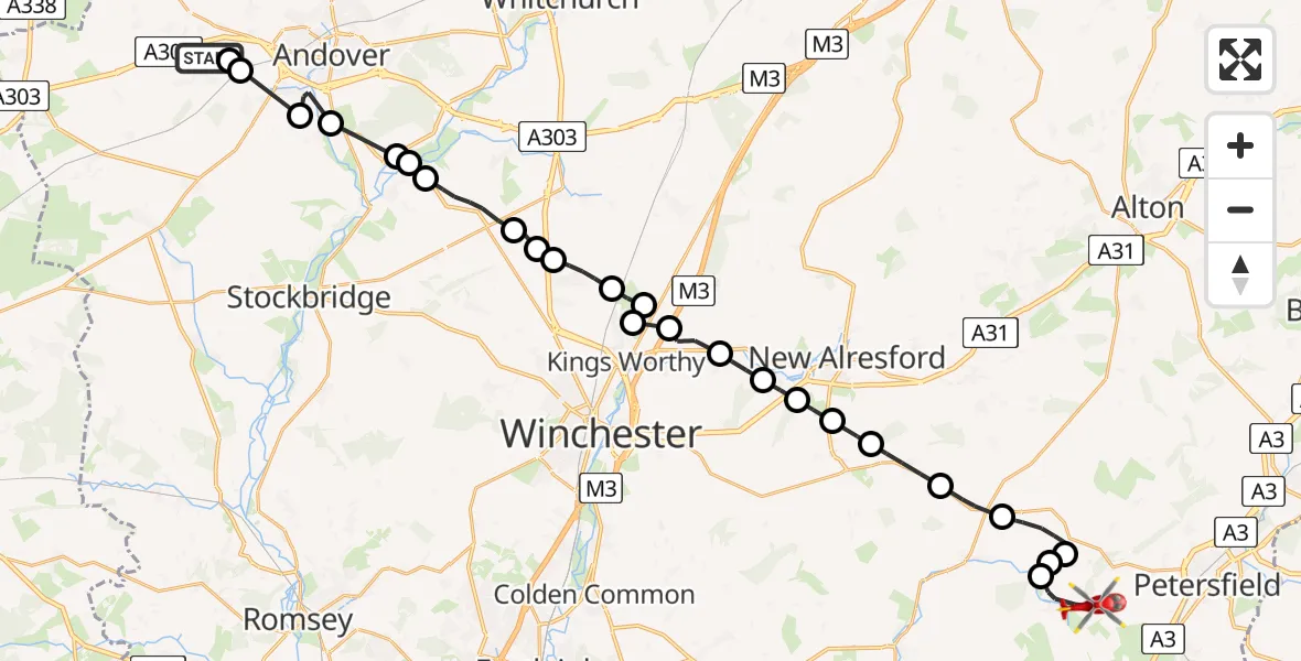
On Sunday, 25 January 2026 at 15:08, a Air Ambulance Helicopter departed from Weyhill to East Meon. It was the Air Ambulance Helicopter with registration number G-HIOW. The flight lasted 16 minutes. During that period, the aircraft travelled 31 miles at an average speed of 115 miles per hour at a maximum altitude of 1750 feet.
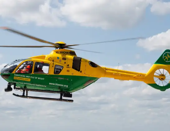
Helicopter: G-HIOW
The helicopter G-HIOW is used as a air ambulance helicopter. The main purpose of this aircraft is to transport a Mobile Medical Team to an incident as quickly as possible, enabling the trauma doctor to provide immediate first aid on site. The aircraft is flying this flight as Air Ambulance Helicopter.
Photo: JF2608
32 miles
1750 feet
115 mph
17 minutes
15:08
15:24

Route
Greenway, East Hampshire15:24
East Meon, East Hampshire15:23
East Hampshire15:23
East Meon, East Hampshire15:23
East Hampshire15:21
Winchester15:20
Bramdean, Winchester15:19
Cheriton, Winchester15:19
Tichborne, Winchester15:18
Winchester15:18
Itchen Abbas, Winchester15:17
Easton, Winchester15:16
Springvale, Winchester15:16
Winchester15:15
Springvale, Winchester15:15
South Wonston, Winchester15:14
Sutton Scotney, Winchester15:14
Winchester15:13
Barton Stacey, Test Valley15:12
Chilbolton, Test Valley15:12
Wherwell, Test Valley15:11
Goodworth Clatford, Test Valley15:10
Upper Clatford, Test Valley15:10
Abbotts Ann, Test Valley15:09
Monxton, Test Valley15:08
Monxton Lane, Test Valley15:08
Live flights
Today
Flights Weyhill
Air Ambulance Helicopter to Herriard, A33918 Apr 09:19
Air Ambulance Helicopter to East Meon, Greenway25 Jan 15:08
Helicopter flights on your website?
You can easily display helicopter flights on your own website. Use the embed code.
