Air Ambulance Helicopter to Arbuthnott
Sunday, 25 January 2026 | 13:34 | From Kemnay
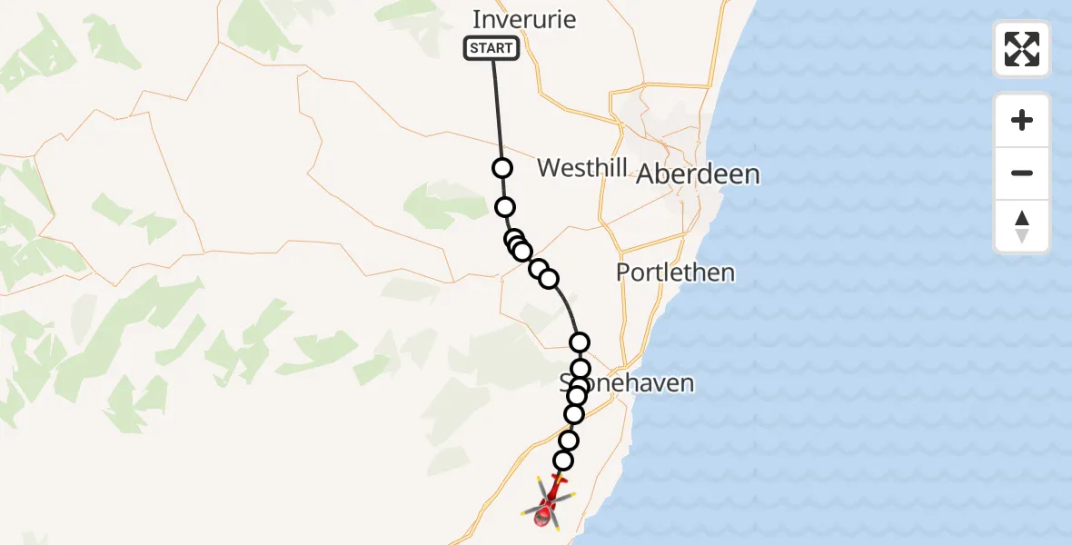
On Sunday, 25 January 2026 at 13:34, a Air Ambulance Helicopter departed from Kemnay to Arbuthnott. It was the Air Ambulance Helicopter with registration number G-GSAS. The flight lasted 14 minutes. During that period, the aircraft travelled 29 miles at an average speed of 126 miles per hour at a maximum altitude of 1800 feet.
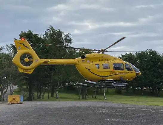
Helicopter: G-GSAS
The helicopter G-GSAS is used as a air ambulance helicopter. The main purpose of this aircraft is to transport a Mobile Medical Team to an incident as quickly as possible, enabling the trauma doctor to provide immediate first aid on site. The aircraft is flying this flight as Air Ambulance Helicopter.
Photo: Scanbus
30 miles
1800 feet
126 mph
15 minutes
13:34
13:49

Route
Arbuthnott, 13:49
Arbuthnott13:47
Clearymuir13:47
Clochnahill13:46
Auquhirie13:46
Kirktown of Fetteresso13:45
Hindwells13:45
Mill of Mowtie13:44
Woodlands of Durris13:42
Kirkton of Durris13:41
Park13:41
Kirkton of Durris13:40
Park13:40
Milton of Cullerlie13:39
Echt13:38
Kemnay, 13:34
Live flights
Police Helicopter on its way from Ewelme13 Jul 22:24
Today
Police Helicopter to Bournemouth Airport13 Jul 23:55
Air Ambulance Helicopter to Cardiff Heliport13 Jul 23:38
Police Helicopter to Birmingham Airport13 Jul 23:21
Police Helicopter to Irlam, Twelve Yards Road13 Jul 23:00
Flights Arbuthnott
Air Ambulance Helicopter to Arbuthnott25 Jan 13:34
Flights Kemnay
Air Ambulance Helicopter to Kemnay, B9931 Apr 03:34
Air Ambulance Helicopter to Aberchirder, Kemnay23 Mar 00:49
Air Ambulance Helicopter to Kemnay15 Feb 14:18
Air Ambulance Helicopter to Arbuthnott25 Jan 13:34
Helicopter flights on your website?
You can easily display helicopter flights on your own website. Use the embed code.
