Air Ambulance Helicopter to Garve, Matheson Road
Saturday, 24 January 2026 | 22:04 | From Ardersier
On Saturday, 24 January 2026 at 22:04, a Air Ambulance Helicopter departed from Ardersier to Garve. It was the Air Ambulance Helicopter with registration number G-GSAS. The flight lasted 21 minutes. During that period, the aircraft travelled 51 miles at an average speed of 150 miles per hour at a maximum altitude of 1900 feet.
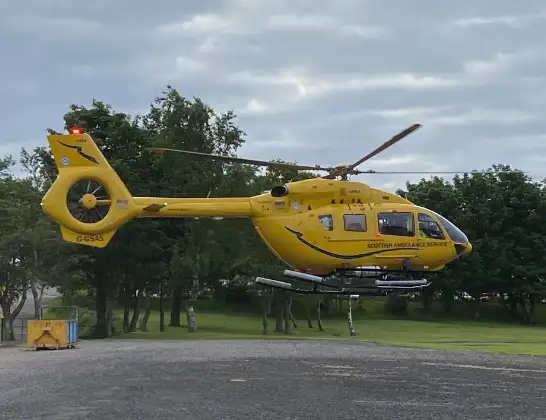
Helicopter: G-GSAS
The helicopter G-GSAS is used as a air ambulance helicopter. The main purpose of this aircraft is to transport a Mobile Medical Team to an incident as quickly as possible, enabling the trauma doctor to provide immediate first aid on site. The aircraft is flying this flight as Air Ambulance Helicopter.
Photo: Scanbus
52 miles
1900 feet
150 mph
21 minutes
22:04
22:25

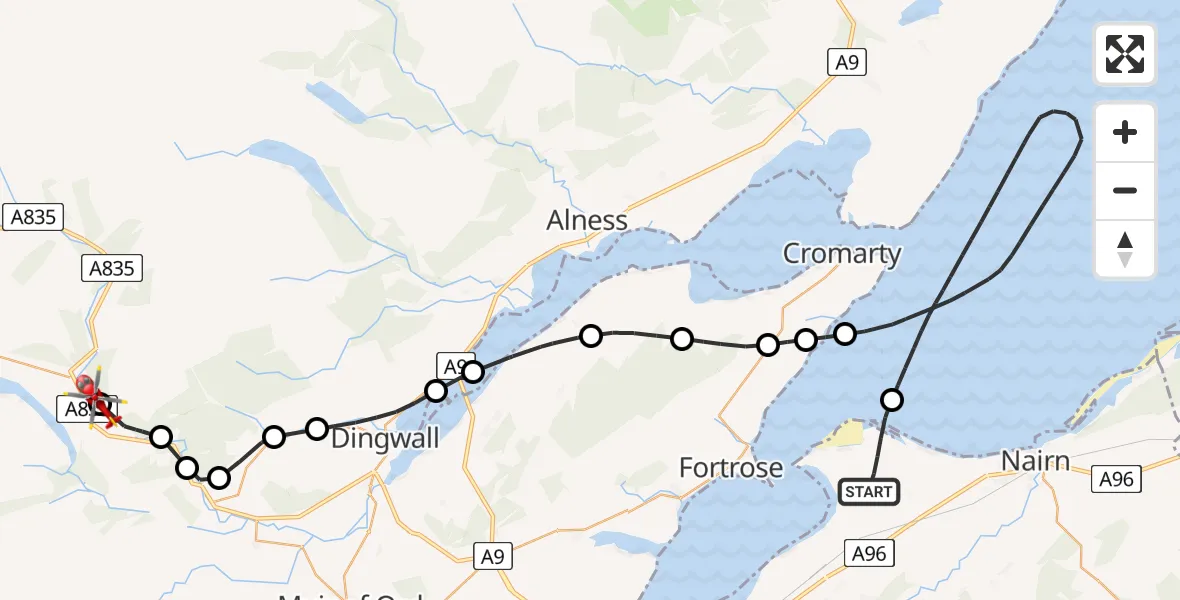
Route
Matheson Road, 22:25
Garve22:25
Tarvie22:24
Garve22:23
Contin22:23
Strathpeffer22:22
Fodderty22:22
Dingwall22:20
Culbokie22:20
Resolis22:18
Jemimaville22:17
Cromarty22:16
Fortrose22:16
Cromarty22:15
North Sea22:06
B9092, 22:04
Live flights
Today
Police Helicopter to Epping Forest, Green Lane26 Feb 23:43
Flights Garve
Coastguard Helicopter to Garve, Garve22 Feb 16:55
Coastguard Helicopter to Garve, Garve20 Feb 13:23
Air Ambulance Helicopter to Inverness, Inverness30 Jan 16:19
Air Ambulance Helicopter to Garve, Matheson Road24 Jan 22:04
Flights Ardersier
Air Ambulance Helicopter to Fortrose, Fortrose18 Feb 16:39
Air Ambulance Helicopter to Dingwall, Ardersier18 Feb 11:34
Air Ambulance Aircraft to Inner Seas, Inner Seas12 Feb 13:40
Air Ambulance Aircraft to Aberdeen International Airport, Aberdeen International Airport10 Feb 18:42
Coastguard Helicopter to Inverness, Inverness30 Jan 11:03
Coastguard Helicopter to Ardersier, Rosemarkie28 Jan 18:11
Coastguard Helicopter to North Sea, North Sea28 Jan 14:58
Helicopter flights on your website?
You can easily display helicopter flights on your own website. Use the embed code.
