Air Ambulance Helicopter to Amesbury, Curtis Close
Saturday, 24 January 2026 | 16:32 | From Wiltshire Air Ambulance
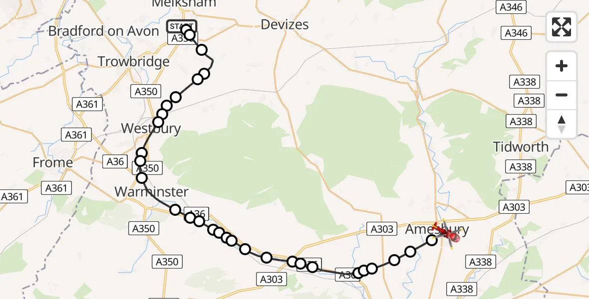
On Saturday, 24 January 2026 at 16:32, a Air Ambulance Helicopter departed from Wiltshire Air Ambulance to Amesbury. It was the Air Ambulance Helicopter with registration number G-WLTS. The flight lasted 18 minutes. During that period, the aircraft travelled 34 miles at an average speed of 112 miles per hour at a maximum altitude of 1950 feet.
Helicopter: G-WLTS
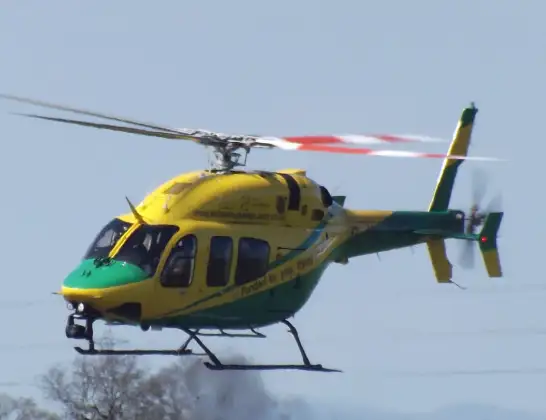
The helicopter G-WLTS is used as a air ambulance helicopter. The main purpose of this aircraft is to transport a Mobile Medical Team to an incident as quickly as possible, enabling the trauma doctor to provide immediate first aid on site. The aircraft is flying this flight as Air Ambulance Helicopter.
Photo: James
34 miles
1950 feet
112 mph
19 minutes
16:32
16:50

Route
Curtis Close, 16:50
Amesbury16:48
Great Durnford16:48
Upper Woodford16:47
Stapleford16:46
Great Wishford16:46
Stapleford16:46
Steeple Langford16:44
Hanging Langford16:44
Wylye16:44
Fisherton de la Mere16:43
Codford16:42
Boyton16:41
Upton Lovell16:41
Corton16:41
Knook16:41
Heytesbury16:40
Sutton Veny16:40
Bishopstrow16:39
Warminster16:38
Upton Scudamore16:37
Biss Brook Farm Airstrip, Westbury, Wiltshire16:37
Westbury16:36
Heywood16:36
Bratton16:36
West Ashton16:35
Steeple Ashton16:35
RAF Keevil, Keevil16:34
Keevil16:33
Great Hinton16:33
Semington16:32
Commerce Way, 16:32
Live flights
Today
Flights Amesbury
Helicopter flights on your website?
You can easily display helicopter flights on your own website. Use the embed code.
