Air Ambulance Helicopter to Dafen, Cilsaig Road
Saturday, 24 January 2026 | 15:11 | From Coychurch
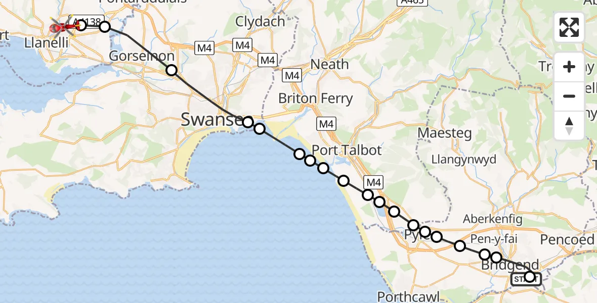
On Saturday, 24 January 2026 at 15:11, a Air Ambulance Helicopter departed from Coychurch to Dafen. It was the Air Ambulance Helicopter with registration number G-WROL. The flight lasted 13 minutes. During that period, the aircraft travelled 30 miles at an average speed of 133 miles per hour at a maximum altitude of 1825 feet.
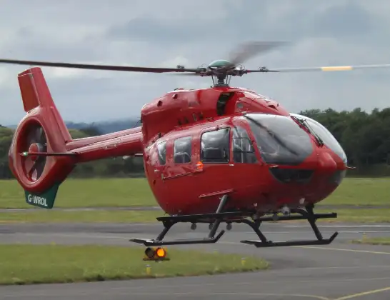
Helicopter: G-WROL
The helicopter G-WROL is used as a air ambulance helicopter. The main purpose of this aircraft is to transport a Mobile Medical Team to an incident as quickly as possible, enabling the trauma doctor to provide immediate first aid on site. The aircraft is flying this flight as Air Ambulance Helicopter.
Photo: James from Cheltenham, Gloucestershire
30 miles
1825 feet
133 mph
14 minutes
15:11
15:25

Route
Cilsaig Road, 15:25
Dafen15:24
Llangennech15:24
Gorseinon15:22
Swansea15:21
Waterfront15:20
Bristol Channel15:20
Port Talbot15:19
Margam Moors15:19
Port Talbot15:19
Margam Moors15:18
Eglwys Nunydd Reservoir15:18
Margam15:18
Coed Hirwaun15:17
Pyle15:17
Kenfig Hill15:17
Cefn Cribwr15:16
Bryntirion15:16
Cefn Glas15:15
Bridgend15:14
Waterton Road, 15:13
Coychurch15:11
Live flights
Today
Police Helicopter to Epping Forest, Green Lane26 Feb 23:43
Flights Dafen
Air Ambulance Helicopter to Dafen, Heol Aur26 Feb 10:12
Air Ambulance Helicopter to Dafen, Heol Aur26 Feb 07:58
Air Ambulance Helicopter to Dafen, Heol Aur25 Feb 09:47
Air Ambulance Helicopter to Dafen, Heol Aur24 Feb 16:12
Air Ambulance Helicopter to Dafen, Heol Aur24 Feb 13:41
Air Ambulance Helicopter to Dafen, Heol Aur24 Feb 07:37
Flights Coychurch
Air Ambulance Helicopter to Dafen, Cilsaig Road24 Jan 15:11
Helicopter flights on your website?
You can easily display helicopter flights on your own website. Use the embed code.
