Air Ambulance Helicopter to Phillack, Riviere Towans
Saturday, 24 January 2026 | 14:18 | From Restronguet Creek
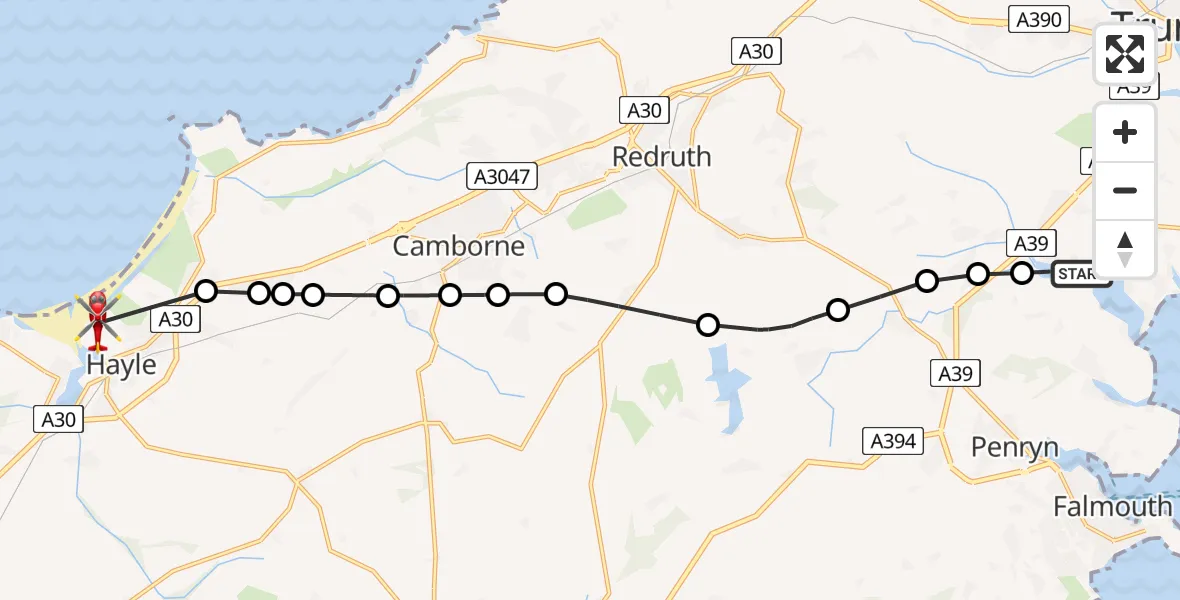
On Saturday, 24 January 2026 at 14:18, a Air Ambulance Helicopter departed from Restronguet Creek to Phillack. It was the Air Ambulance Helicopter with registration number G-CNLL. The flight lasted 9 minutes. During that period, the aircraft travelled 16 miles at an average speed of 103 miles per hour at a maximum altitude of 2025 feet.
Helicopter: G-CNLL
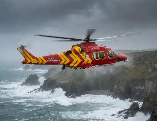
The helicopter G-CNLL is used as a air ambulance helicopter. The main purpose of this aircraft is to transport a Mobile Medical Team to an incident as quickly as possible, enabling the trauma doctor to provide immediate first aid on site. The aircraft is flying this flight as Air Ambulance Helicopter.
Photo: Tony Melony
16 miles
2025 feet
103 mph
10 minutes
14:18
14:27

Route
Riviere Towans, Hayle14:27
Angarrack, Hayle14:26
Angarrack14:25
Connor Downs14:25
Carnhell Green14:25
Penponds14:24
Penponds, Camborne14:24
Beacon, Camborne14:23
Troon, Camborne14:23
Four Lanes14:22
Stithians14:20
Ponsanooth14:19
Perranarworthal14:19
Church Town14:18
Restronguet Creek, 14:18
Live flights
Today
Flights Phillack
Air Ambulance Helicopter to Treliske Hospital14 Mar 09:29
Coastguard Helicopter to Phillack6 Mar 10:50
Helicopter flights on your website?
You can easily display helicopter flights on your own website. Use the embed code.
