Air Ambulance Helicopter to North Sea
Saturday, 24 January 2026 | 8:55 | From North Sea
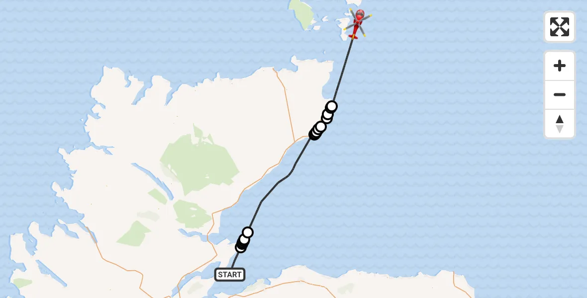
On Saturday, 24 January 2026 at 8:55, a Air Ambulance Helicopter departed from North Sea to North Sea. It was the Air Ambulance Helicopter with registration number G-GSAS. The flight lasted 40 minutes. During that period, the aircraft travelled 88 miles at an average speed of 134 miles per hour at a maximum altitude of 1300 feet.

Helicopter: G-GSAS
The helicopter G-GSAS is used as a air ambulance helicopter. The main purpose of this aircraft is to transport a Mobile Medical Team to an incident as quickly as possible, enabling the trauma doctor to provide immediate first aid on site. The aircraft is flying this flight as Air Ambulance Helicopter.
Photo: Scanbus
89 miles
1300 feet
134 mph
40 minutes
08:55
09:34

Route
North Sea, 09:34
North Sea09:23
Papigoe09:23
Wick09:22
Sarclet09:21
North Sea09:20
Ulbster09:19
East Clyth09:19
Mid Clyth09:19
Greenhill09:18
North Sea09:01
Portmahomack09:00
Ballone Castle Airstrip, Tain, Ross09:00
Portmahomack08:59
Rockfield08:59
Portmahomack08:59
North Sea, 08:55
Live flights
Today
Helicopter flights on your website?
You can easily display helicopter flights on your own website. Use the embed code.
