Air Ambulance Helicopter to Throop, Shillingstone Drive
Friday, 23 January 2026 | 13:58 | From Henstridge Airfield
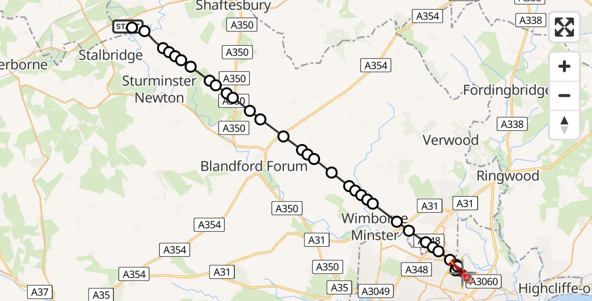
On Friday, 23 January 2026 at 13:58, a Air Ambulance Helicopter departed from Henstridge Airfield to Throop. It was the Air Ambulance Helicopter with registration number G-DSAA. The flight lasted 17 minutes. During that period, the aircraft travelled 28 miles at an average speed of 103 miles per hour at a maximum altitude of 2125 feet.
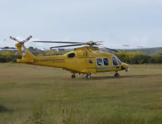
Helicopter: G-DSAA
The helicopter G-DSAA is used as a air ambulance helicopter. The main purpose of this aircraft is to transport a Mobile Medical Team to an incident as quickly as possible, enabling the trauma doctor to provide immediate first aid on site. The aircraft is flying this flight as Air Ambulance Helicopter.
Photo: Andrew Bone
29 miles
2125 feet
103 mph
17 minutes
13:58
14:15

Route
Shillingstone Drive, Bournemouth14:15
Throop, Bournemouth14:14
Bournemouth14:13
Throop, Bournemouth14:12
Parley Cross14:12
Kinson, Bournemouth14:12
Dudsbury, Ferndown14:11
Dudsbury14:11
Hampreston14:10
Hayes14:10
Furzehill14:09
Stanbridge14:09
Hinton Parva14:08
Stanbridge14:08
Pamphill14:08
Witchampton14:07
Tarrant Rushton14:06
Blandford Camp14:06
Tarrant Monkton14:06
Blandford Camp14:05
Pimperne14:04
Stourpaine14:04
Iwerne Minster14:03
Shroton14:03
Iwerne Minster14:02
Child Okeford14:02
West Orchard14:01
Todber14:01
Margaret Marsh14:00
Marnhull14:00
Todber14:00
Marnhull13:59
Stalbridge13:58
Henstridge Airfield, 13:58
Today
Police Helicopter to Epping Forest, Green Lane26 Feb 23:43
Flights Throop
Police Helicopter to Poole, Keysworth Road21 Jan 18:09
Police Helicopter to Hurn, Hurn21 Jan 15:18
Air Ambulance Helicopter to Throop, Throop Road11 Jan 22:43
Helicopter flights on your website?
You can easily display helicopter flights on your own website. Use the embed code.
