Air Ambulance Helicopter to Netherne-on-the-Hill, Beckett Road
Friday, 23 January 2026 | 13:09 | From Redhill Aerodrome
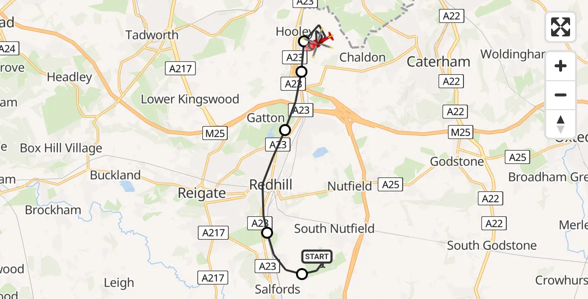
On Friday, 23 January 2026 at 13:09, a Air Ambulance Helicopter departed from Redhill Aerodrome to Netherne-on-the-Hill. It was the Air Ambulance Helicopter with registration number G-LNAC. The flight lasted 6 minutes. During that period, the aircraft travelled 9 miles at an average speed of 88 miles per hour at a maximum altitude of 2025 feet.
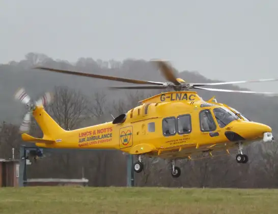
Helicopter: G-LNAC
The helicopter G-LNAC is used as a air ambulance helicopter. The main purpose of this aircraft is to transport a Mobile Medical Team to an incident as quickly as possible, enabling the trauma doctor to provide immediate first aid on site. The aircraft is flying this flight as Air Ambulance Helicopter.
Photo: James from Cheltenham, Gloucestershire
9 miles
2025 feet
88 mph
6 minutes
13:09
13:14

Route
Beckett Road, Reigate and Banstead13:14
Netherne-on-the-Hill, Reigate and Banstead13:13
Hooley, Reigate and Banstead13:12
Gatton, Reigate and Banstead13:12
Redhill, Reigate and Banstead13:11
Salfords, Reigate and Banstead13:10
Redhill Aerodrome, Redhill, Surrey13:09
Redhill Aerodrome, Redhill, Surrey13:09
Live flights
Today
Coastguard Drone to Dover, A203:03:07
Flights Netherne-on-the-Hill
Air Ambulance Helicopter to Redhill Aerodrome23 Jan 14:06
Helicopter flights on your website?
You can easily display helicopter flights on your own website. Use the embed code.
