Air Ambulance Helicopter to Newton Hill, Ash Road
Friday, 23 January 2026 | 12:44 | From Castleford
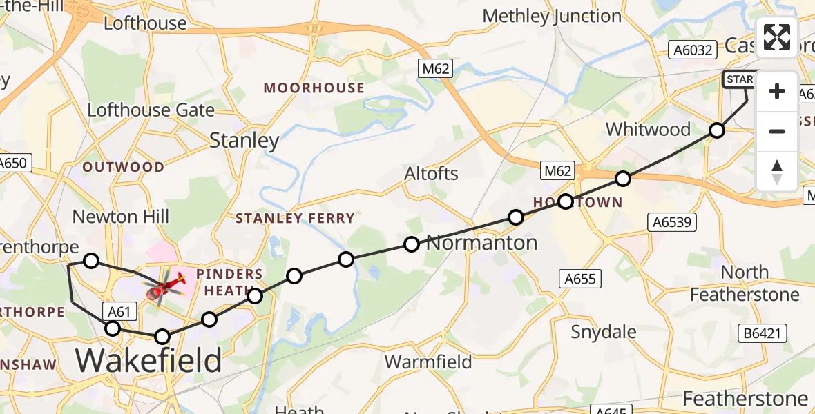
On Friday, 23 January 2026 at 12:44, a Air Ambulance Helicopter departed from Castleford to Newton Hill. It was the Air Ambulance Helicopter with registration number G-YORX. The flight lasted 7 minutes. During that period, the aircraft travelled 9 miles at an average speed of 70 miles per hour at a maximum altitude of 1825 feet.
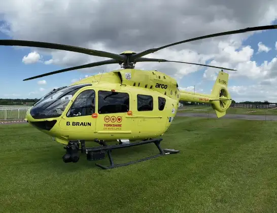
Helicopter: G-YORX
The helicopter G-YORX is used as a air ambulance helicopter. The main purpose of this aircraft is to transport a Mobile Medical Team to an incident as quickly as possible, enabling the trauma doctor to provide immediate first aid on site. The aircraft is flying this flight as Air Ambulance Helicopter.
Photo: Arollin96227
9 miles
1825 feet
70 mph
8 minutes
12:44
12:52

Route
Newton Hill, Wakefield12:52
Ash Road, Wakefield12:51
Ash Road, Wakefield12:51
Newton Hill, Wakefield12:49
Wrenthorpe, Wakefield12:48
Wakefield, West Yorkshire12:48
Heath, Wakefield12:48
Stanley, Wakefield12:47
Kirkthorpe, Wakefield12:47
Warmfield, Wakefield12:47
Altofts, Wakefield12:47
Altofts, Normanton and Altofts12:46
Whitwood, Normanton and Altofts12:46
Whitwood, Featherstone12:46
Whitwood, Wakefield12:45
Temple Street, Wakefield12:44
Live flights
Today
Police Helicopter to Manchester Barton Aerodrome13 Jul 23:56
Police Helicopter to Bournemouth Airport13 Jul 23:55
Air Ambulance Helicopter to Cardiff Heliport13 Jul 23:38
Police Helicopter to Harborough, Sulby Road13 Jul 23:36
Police Helicopter to Birmingham Airport13 Jul 23:21
Flights Castleford
Air Ambulance Helicopter to Castleford, A6394 Jul 17:27
Helicopter flights on your website?
You can easily display helicopter flights on your own website. Use the embed code.
