Air Ambulance Helicopter to Corsham, Burlington Place
Friday, 23 January 2026 | 11:01 | From Almondsbury Helicopter Base
On Friday, 23 January 2026 at 11:01, a Air Ambulance Helicopter departed from Almondsbury Helicopter Base to Corsham. It was the Air Ambulance Helicopter with registration number G-GWAC. The flight lasted 12 minutes. During that period, the aircraft travelled 23 miles at an average speed of 116 miles per hour at a maximum altitude of 2300 feet.
Helicopter: G-GWAC
The helicopter G-GWAC is used as a air ambulance helicopter. The main purpose of this aircraft is to transport a Mobile Medical Team to an incident as quickly as possible, enabling the trauma doctor to provide immediate first aid on site. The aircraft is flying this flight as Air Ambulance Helicopter.
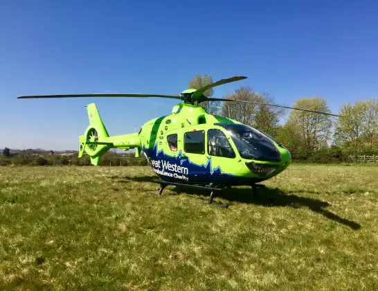
Photo: Mojo0306
24 miles
2300 feet
116 mph
12 minutes
11:01
11:13

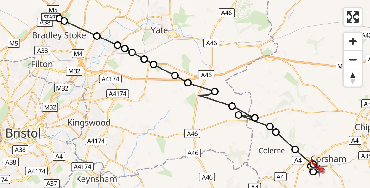
Route
Corsham11:13
Burlington Place, 11:12
Rudloe11:12
Neston11:12
Corsham11:11
Rudloe11:10
Colerne11:10
North Wraxall11:09
Marshfield, West of England11:09
North Wraxall11:09
Marshfield, West of England11:08
West Littleton, West of England11:07
Tormarton, West of England11:07
Dodington, West of England11:06
Wapley, West of England11:05
Bristol, West of England11:05
Westerleigh, West of England11:05
Nibley, West of England11:04
Bristol, West of England11:04
Frampton Cotterell, West of England11:03
Bradley Stoke, West of England11:02
M4, West of England11:02
Almondsbury Helicopter Base, Bristol, Somerset11:01
Live flights
Today
Flights Corsham
Air Ambulance Helicopter to Corsham, Bethel Road17 Mar 16:47
Helicopter flights on your website?
You can easily display helicopter flights on your own website. Use the embed code.
