Air Ambulance Helicopter to Royal Bournemouth Hospital
Thursday, 22 January 2026 | 20:18 | From Christchurch
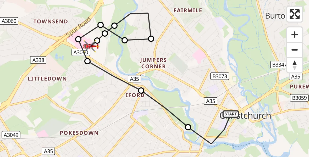
On Thursday, 22 January 2026 at 20:18, a Air Ambulance Helicopter departed from Christchurch to Royal Bournemouth Hospital. It was the Air Ambulance Helicopter with registration number G-DSAA. The flight lasted 9 minutes. During that period, the aircraft travelled 5 miles at an average speed of 33 miles per hour at a maximum altitude of 1425 feet.
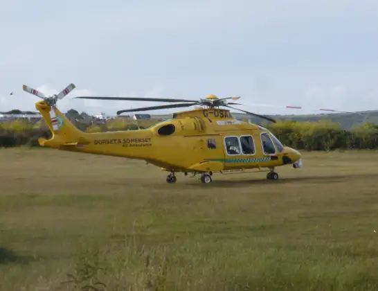
Helicopter: G-DSAA
The helicopter G-DSAA is used as a air ambulance helicopter. The main purpose of this aircraft is to transport a Mobile Medical Team to an incident as quickly as possible, enabling the trauma doctor to provide immediate first aid on site. The aircraft is flying this flight as Air Ambulance Helicopter.
Photo: Andrew Bone
5 miles
1425 feet
33 mph
9 minutes
20:18
20:27

Route
Royal Bournemouth Hospital, Bournemouth20:27
Royal Bournemouth Hospital, Bournemouth20:26
Holdenhurst, Bournemouth20:25
Holdenhurst, Christchurch20:25
Christchurch20:24
Holdenhurst, Christchurch20:24
Holdenhurst, Bournemouth20:24
Royal Bournemouth Hospital, Bournemouth20:24
Holdenhurst, Bournemouth20:23
Bournemouth20:23
Wick, Bournemouth20:22
Magdalen Lane, 20:21
Christchurch20:18
Live flights
Today
Flights Christchurch
Police Helicopter to Bournemouth Airport3 Jul 00:00
Police Helicopter to Bournemouth Airport26 Jun 20:25
Air Ambulance Helicopter to Dafen, Heol Aur26 Jun 17:54
Police Helicopter to Bournemouth Airport20 May 20:15
Police Helicopter to Bournemouth Airport30 Jan 22:46
Helicopter flights on your website?
You can easily display helicopter flights on your own website. Use the embed code.
