Air Ambulance Helicopter to Grange-Over-Sands, Charney Well Lane
Thursday, 22 January 2026 | 16:17 | From Common Edge
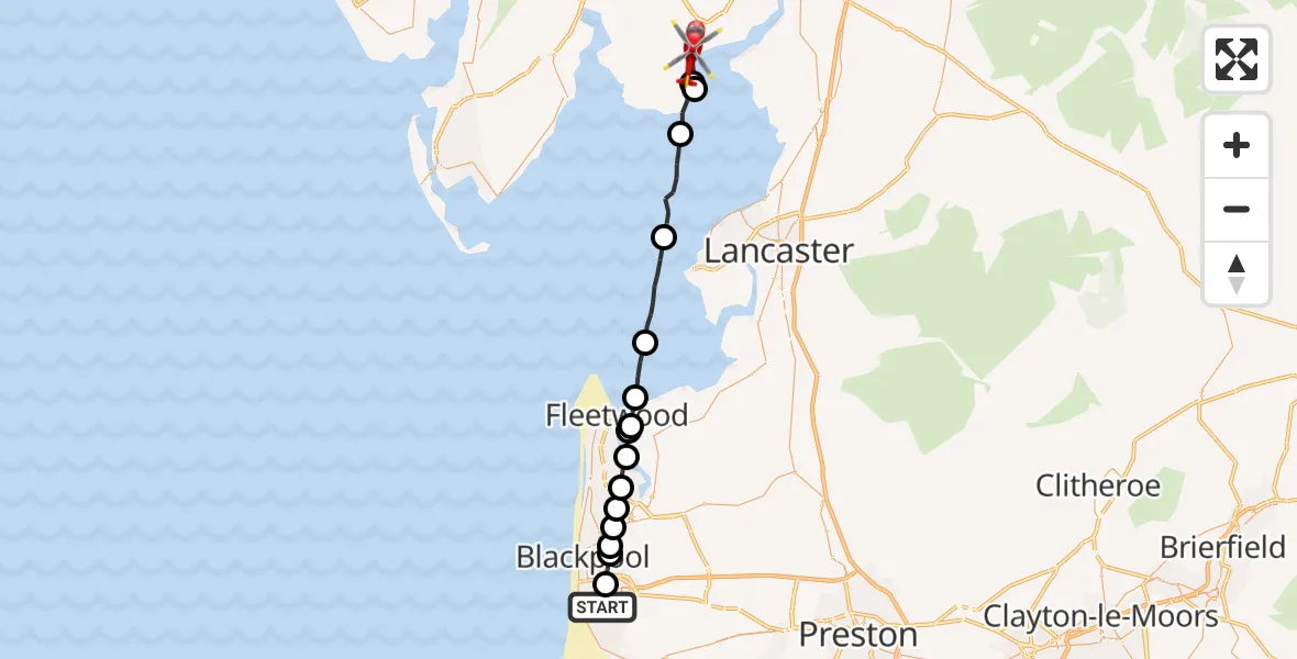
On Thursday, 22 January 2026 at 16:17, a Air Ambulance Helicopter departed from Common Edge to Grange-Over-Sands. It was the Air Ambulance Helicopter with registration number G-NWAA. The flight lasted 11 minutes. During that period, the aircraft travelled 30 miles at an average speed of 158 miles per hour at a maximum altitude of 2225 feet.
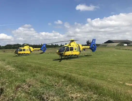
Helicopter: G-NWAA
The helicopter G-NWAA is used as a air ambulance helicopter. The main purpose of this aircraft is to transport a Mobile Medical Team to an incident as quickly as possible, enabling the trauma doctor to provide immediate first aid on site. The aircraft is flying this flight as Air Ambulance Helicopter.
Photo: Legion23
30 miles
2225 feet
158 mph
12 minutes
16:17
16:28

Route
Charney Well Lane, 16:28
Lower Allithwaite16:28
Grange-Over-Sands16:28
Lower Allithwaite16:26
Lower Holker16:24
Overton, Lancaster16:22
Wyre, Lancashire16:21
Knott End-On-Sea, Wyre16:21
Fleetwood, Wyre16:20
Wyre, Lancashire16:20
Thornton, Wyre16:19
Carleton, Wyre16:19
Poulton-le-Fylde, Wyre16:19
Blackpool, Lancashire16:18
Blackpool Victoria, Blackpool16:18
Blackpool, Lancashire16:17
Squires Gate Lane, Lancashire16:17
Live flights
Police Helicopter on its way from Bishopbriggs14 Jul 23:03
Police Helicopter on its way from Thames View14 Jul 22:44
Police Helicopter on its way from Brandy Carr14 Jul 22:00
Today
Air Ambulance Helicopter to Cardiff Heliport14 Jul 22:43
Coastguard Helicopter to North Sea14 Jul 22:40
Air Ambulance Helicopter to North Sea14 Jul 22:27
Air Ambulance Helicopter to Priory Farm Airstrip14 Jul 22:16
Air Ambulance Helicopter to Papworth Hospital14 Jul 22:02
Air Ambulance Helicopter to Redhill Aerodrome14 Jul 21:58
Coastguard Helicopter to North Sea14 Jul 21:56
Flights Grange-Over-Sands
Helicopter flights on your website?
You can easily display helicopter flights on your own website. Use the embed code.
