Air Ambulance Helicopter to Enborne Row, Skinners Green Lane
Thursday, 22 January 2026 | 14:44 | From Weyhill
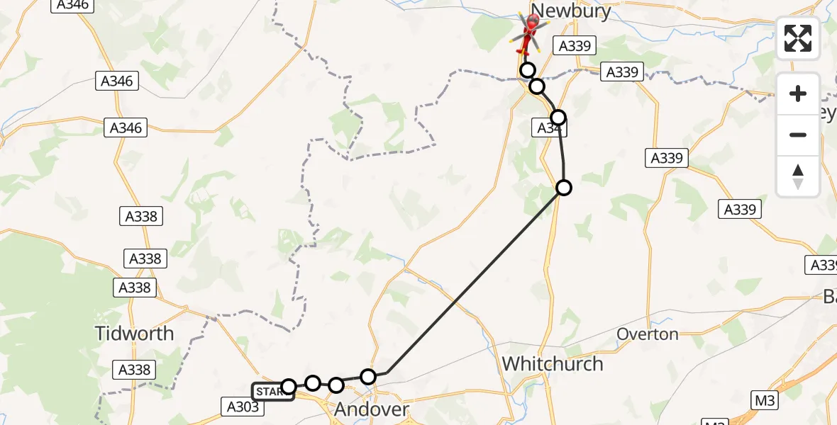
On Thursday, 22 January 2026 at 14:44, a Air Ambulance Helicopter departed from Weyhill to Enborne Row. It was the Air Ambulance Helicopter with registration number G-HIOW. The flight lasted 9 minutes. During that period, the aircraft travelled 18 miles at an average speed of 124 miles per hour at a maximum altitude of 1700 feet.
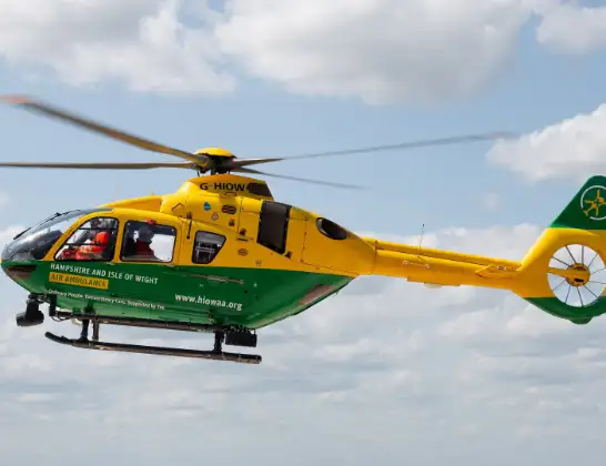
Helicopter: G-HIOW
The helicopter G-HIOW is used as a air ambulance helicopter. The main purpose of this aircraft is to transport a Mobile Medical Team to an incident as quickly as possible, enabling the trauma doctor to provide immediate first aid on site. The aircraft is flying this flight as Air Ambulance Helicopter.
Photo: JF2608
19 miles
1700 feet
124 mph
9 minutes
14:44
14:52

Route
Skinners Green Lane, 14:52
Enborne Row14:52
Basingstoke and Deane14:51
Burghclere, Basingstoke and Deane14:51
Old Burghclere, Basingstoke and Deane14:50
Andover, Test Valley14:45
Test Valley14:45
Penton Mewsey, Test Valley14:44
Penton Grafton, Test Valley14:44
Amesbury Road, Test Valley14:44
Today
Police Helicopter to Epping Forest, Green Lane26 Feb 23:43
Flights Weyhill
Air Ambulance Helicopter to East Meon, Greenway25 Jan 15:08
Helicopter flights on your website?
You can easily display helicopter flights on your own website. Use the embed code.
