Police Helicopter to St Marychurch, St Marychurch
Wednesday, 21 January 2026 | 17:48 | From East Devon
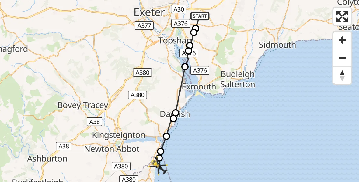
On Wednesday, 21 January 2026 at 17:48, a Police Helicopter departed from East Devon to St Marychurch. It was the Police Helicopter with registration number G-CPAS. The flight lasted 8 minutes. During that period, the aircraft travelled 18 miles at an average speed of 128 miles per hour at a maximum altitude of 1925 feet.
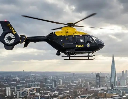
Helicopter: G-CPAS
The helicopter G-CPAS is used by the British police. The helicopter is deployed in pursuits, missing persons cases and other incidents where a helicopter provides added value.
Photo: Tony Melony
18 miles
1925 feet
128 mph
9 minutes
17:48
17:56

Route
St Marychurch, Devon and Torbay17:56
Maidencombe, Devon and Torbay17:56
Shaldon, Teignbridge17:56
Shaldon, Teignmouth17:55
Holcombe, Dawlish17:54
Dawlish, Teignbridge17:54
Exeter, Devon and Torbay17:51
Exton, East Devon17:50
Clyst St. George, East Devon17:50
Ebford, East Devon17:49
Woodbury Salterton, East Devon17:49
East Devon, Devon and Torbay17:48
Live flights
Today
Helicopter flights on your website?
You can easily display helicopter flights on your own website. Use the embed code.
