Air Ambulance Helicopter to Coventry Airport
Wednesday, 21 January 2026 | 13:28 | From Coventry Airport
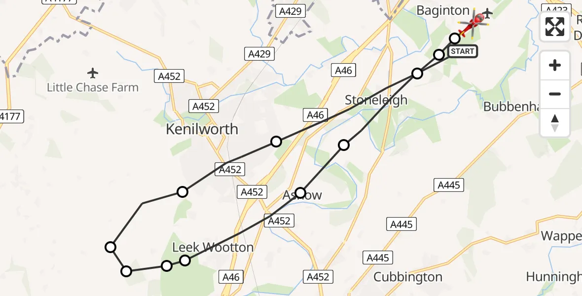
On Wednesday, 21 January 2026 at 13:28, a Air Ambulance Helicopter departed from Coventry Airport to Coventry Airport. It was the Air Ambulance Helicopter with registration number G-WNAS. The flight lasted 6 minutes. During that period, the aircraft travelled 13 miles at an average speed of 135 miles per hour at a maximum altitude of 1925 feet.
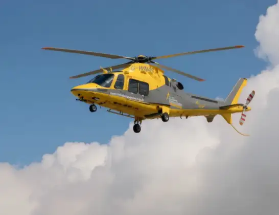
Helicopter: G-WNAS
The helicopter G-WNAS is used as an ambulance helicopter. The helicopter is equipped with a stretcher for transporting patients. The helicopter is often used to transport to hospitals.
Photo: Tony Melony
14 miles
1925 feet
135 mph
6 minutes
13:28
13:34

Route
Coventry Airport, Coventry, West Midlands13:34
Coventry Airport, Coventry, West Midlands13:33
Baginton, Warwick13:33
Stoneleigh, Warwick13:32
Bericote Farm Airstrip, Blackdown / Ashow13:32
Leek Wootton, Warwick13:31
Leek Wootton, Kenilworth13:31
Hatton Park, Warwick13:31
Warwick13:30
Leek Wootton, Kenilworth13:30
Kenilworth13:29
Stoneleigh, Warwick13:28
Samaritan Way, Warwick13:28
Live flights
Today
Helicopter flights on your website?
You can easily display helicopter flights on your own website. Use the embed code.
