Air Ambulance Helicopter to Skelmersdale, Glenburn Road
Tuesday, 20 January 2026 | 12:50 | From Banks
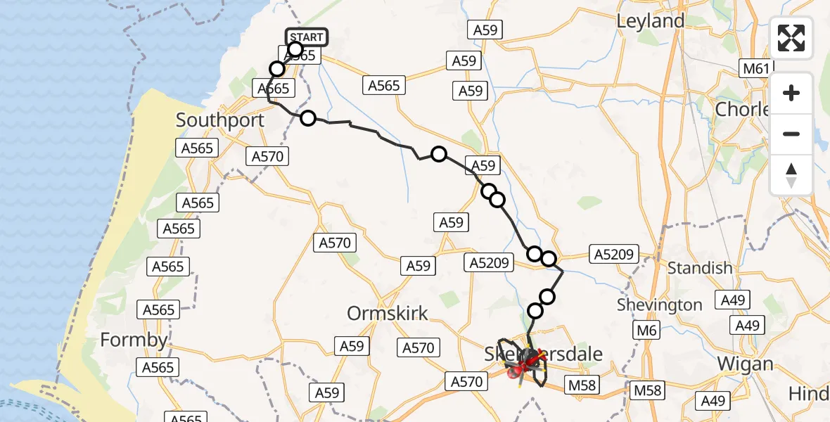
On Tuesday, 20 January 2026 at 12:50, a Air Ambulance Helicopter departed from Banks to Skelmersdale. It was the Air Ambulance Helicopter with registration number G-NWEM. The flight lasted 18 minutes. During that period, the aircraft travelled 26 miles at an average speed of 88 miles per hour at a maximum altitude of 1675 feet.
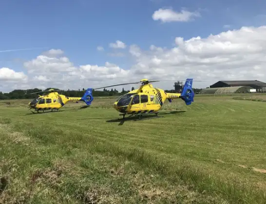
Helicopter: G-NWEM
The helicopter G-NWEM is used as a air ambulance helicopter. The main purpose of this aircraft is to transport a Mobile Medical Team to an incident as quickly as possible, enabling the trauma doctor to provide immediate first aid on site. The aircraft is flying this flight as Air Ambulance Helicopter.
Photo: Legion23
26 miles
1675 feet
88 mph
18 minutes
12:50
13:07

Route
Glenburn Road, West Lancashire13:07
Skelmersdale, West Lancashire12:59
Dalton, West Lancashire12:58
Parbold, West Lancashire12:57
Newburgh, West Lancashire12:57
Lathom, West Lancashire12:56
Burscough, West Lancashire12:56
Rufford, West Lancashire12:54
West Lancashire, Lancashire12:52
Sefton, Southport12:51
Sefton, Liverpool City Region12:50
Ralph's Wife's Lane, West Lancashire12:50
Live flights
Today
Flights Skelmersdale
Flights Banks
Air Ambulance Helicopter to Banks, Gravel Lane25 Jun 09:08
Air Ambulance Helicopter to Blackpool Airport21 Apr 12:26
Helicopter flights on your website?
You can easily display helicopter flights on your own website. Use the embed code.
