Air Ambulance Helicopter to Henstridge Airfield
Tuesday, 20 January 2026 | 10:37 | From Charminster
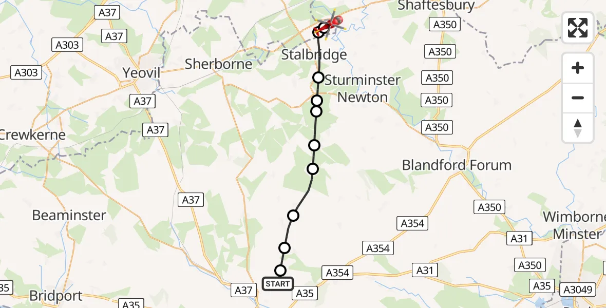
On Tuesday, 20 January 2026 at 10:37, a Air Ambulance Helicopter departed from Charminster to Henstridge Airfield. It was the Air Ambulance Helicopter with registration number G-DSAA. The flight lasted 7 minutes. During that period, the aircraft travelled 17 miles at an average speed of 152 miles per hour at a maximum altitude of 1600 feet.
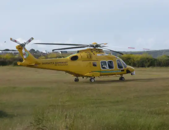
Helicopter: G-DSAA
The helicopter G-DSAA is used as a air ambulance helicopter. The main purpose of this aircraft is to transport a Mobile Medical Team to an incident as quickly as possible, enabling the trauma doctor to provide immediate first aid on site. The aircraft is flying this flight as Air Ambulance Helicopter.
Photo: Andrew Bone
18 miles
1600 feet
152 mph
7 minutes
10:37
10:44

Route
Henstridge Airfield, Templecombe, Somerset10:44
Henstridge Airfield, Templecombe, Somerset10:44
Henstridge10:43
Stalbridge10:42
Lydlinch10:42
King's Stag10:41
Hazelbury Bryan10:41
Mappowder10:40
Plush10:39
Piddletrenthide10:38
Piddlehinton10:38
Charminster, 10:37
Live flights
Today
Coastguard Helicopter to Corrie15:48:56
Flights Charminster
Air Ambulance Helicopter to Henstridge Airfield20 Jan 10:37
Helicopter flights on your website?
You can easily display helicopter flights on your own website. Use the embed code.
