Air Ambulance Helicopter to Cornwall Airport Newquay, Cornwall Airport Newquay
Saturday, 17 January 2026 | 13:11 | From Truro
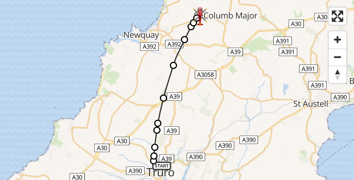
On Saturday, 17 January 2026 at 13:11, a Air Ambulance Helicopter departed from Truro to Cornwall Airport Newquay. It was the Air Ambulance Helicopter with registration number G-CNLL. The flight lasted 7 minutes. During that period, the aircraft travelled 13 miles at an average speed of 104 miles per hour at a maximum altitude of 1250 feet.
Helicopter: G-CNLL
The helicopter G-CNLL is used as a air ambulance helicopter. The main purpose of this aircraft is to transport a Mobile Medical Team to an incident as quickly as possible, enabling the trauma doctor to provide immediate first aid on site. The aircraft is flying this flight as Air Ambulance Helicopter.
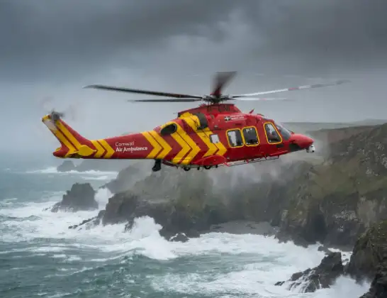
Photo: Tony Melony
13 miles
1250 feet
104 mph
8 minutes
13:11
13:19

Route
Cornwall Airport Newquay, Newquay13:19
Cornwall Airport Newquay, Newquay13:18
Cornwall Airport Newquay, Newquay13:16
St. Columb Major13:16
Newquay13:16
Colan13:16
Kestle Mill13:15
St. Newlyn East13:14
Zelah13:13
Trispen13:13
Shortlanesend13:12
Truro13:12
Shortlanesend13:12
Moresk Road, 13:11
Live flights
Today
Flights Truro
Air Ambulance Helicopter to Truro, Benson Road24 Feb 15:26
Air Ambulance Helicopter to Truro, Truro17 Jan 12:21
Helicopter flights on your website?
You can easily display helicopter flights on your own website. Use the embed code.
