Police Helicopter to Sling, Bream Avenue
Saturday, 17 January 2026 | 13:09 | From Almondsbury
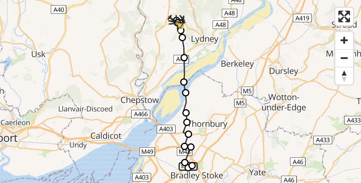
On Saturday, 17 January 2026 at 13:09, a Police Helicopter departed from Almondsbury to Sling. It was the Police Helicopter with registration number G-TVHB. The flight lasted 35 minutes. During that period, the aircraft travelled 30 miles at an average speed of 51 miles per hour at a maximum altitude of 34975 feet.
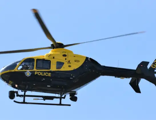
Helicopter: G-TVHB
The helicopter G-TVHB is used by the British police. The helicopter is deployed in pursuits, missing persons cases and other incidents where a helicopter provides added value.
Photo: Alec Wilson
30 miles
34975 feet
51 mph
36 minutes
13:09
13:45

Route
Sling, Forest of Dean13:45
Bream Avenue, Forest of Dean13:44
B4228, Forest of Dean13:44
Sling, Forest of Dean13:40
Bream, Forest of Dean13:33
Sling, Forest of Dean13:33
Bream, Forest of Dean13:32
Sling, Forest of Dean13:32
Bream, Forest of Dean13:31
Sling, Forest of Dean13:30
Bream, Forest of Dean13:15
Aylburton, Forest of Dean13:15
Alvington, Forest of Dean13:14
Forest of Dean13:13
Oldbury Nuclear Power Station Reservoir13:13
Oldbury on Severn, West of England13:12
Littleton-upon-Severn, West of England13:12
Elberton, West of England13:11
Olveston, West of England13:11
Tockington, West of England13:11
Bristol, West of England13:11
Almondsbury Helicopter Base, Bristol, Somerset13:10
Patchway, West of England13:10
Almondsbury, West of England13:09
Today
Flights Sling
Police Helicopter to Almondsbury Helicopter Base17 Jan 13:46
Police Helicopter to Sling, Bream Avenue17 Jan 13:09
Flights Almondsbury
Police Helicopter to MOD St Athan10 Jul 15:42
Police Helicopter to Bristol, Stoke Lane9 Jul 20:52
Police Helicopter to Skewen, Cardonnel Road9 Jul 14:00
Police Helicopter to Kewstoke, Beach Road8 Jul 20:40
Police Helicopter to Tredegar, Maerdy View8 Jul 15:21
Helicopter flights on your website?
You can easily display helicopter flights on your own website. Use the embed code.
