Air Ambulance Helicopter to Bawburgh, New Road
Friday, 16 January 2026 | 15:44 | From Norwich Airport
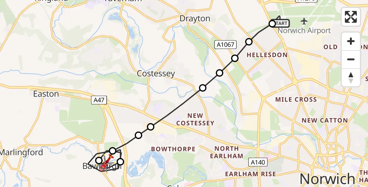
On Friday, 16 January 2026 at 15:44, a Air Ambulance Helicopter departed from Norwich Airport to Bawburgh. It was the Air Ambulance Helicopter with registration number G-HEMC. The flight lasted 9 minutes. During that period, the aircraft travelled 8 miles at an average speed of 53 miles per hour at a maximum altitude of 800 feet.
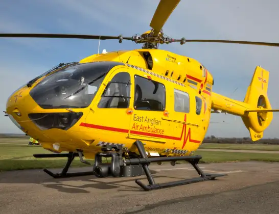
Helicopter: G-HEMC
The helicopter G-HEMC is used as a air ambulance helicopter. The main purpose of this aircraft is to transport a Mobile Medical Team to an incident as quickly as possible, enabling the trauma doctor to provide immediate first aid on site. The aircraft is flying this flight as Air Ambulance Helicopter.
Photo: Jsmauger
8 miles
800 feet
53 mph
9 minutes
15:44
15:53

Route
New Road, South Norfolk15:53
Bawburgh, South Norfolk15:51
Bawburgh, Norwich15:51
Bawburgh, South Norfolk15:49
Costessey, South Norfolk15:49
Norwich15:48
Costessey, South Norfolk15:48
Drayton, Norwich15:47
Drayton, Broadland15:47
Norwich15:47
Cottinghams Drive, 15:47
Broadland15:46
Norwich Airport, Norwich, Norfolk15:44
Live flights
Today
Police Helicopter to MOD St Athan15 Jul 23:53
Police Helicopter to East Ardsley, Stoney Lane15 Jul 23:36
Flights Bawburgh
Air Ambulance Helicopter to Norwich Airport16 Jan 16:49
Air Ambulance Helicopter to Bawburgh, New Road16 Jan 15:44
Helicopter flights on your website?
You can easily display helicopter flights on your own website. Use the embed code.
