Air Ambulance Helicopter to Hasfield, Drapers Lane
Friday, 16 January 2026 | 12:56 | From Bromsberrow
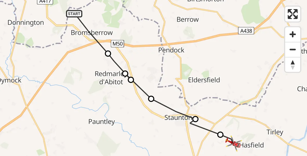
On Friday, 16 January 2026 at 12:56, a Air Ambulance Helicopter departed from Bromsberrow to Hasfield. It was the Air Ambulance Helicopter with registration number G-SCAA. The flight lasted 3 minutes. During that period, the aircraft travelled 8 miles at an average speed of 135 miles per hour at a maximum altitude of 1525 feet.
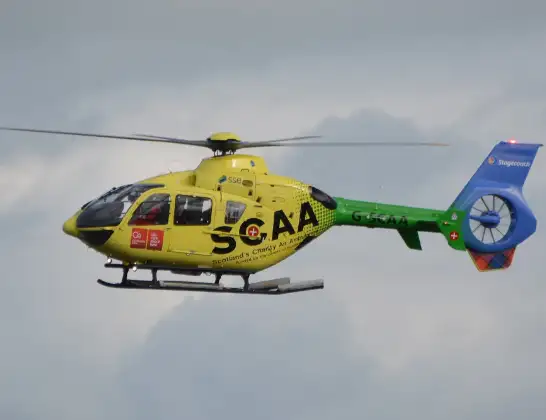
Helicopter: G-SCAA
The helicopter G-SCAA is used as a air ambulance helicopter. The main purpose of this aircraft is to transport a Mobile Medical Team to an incident as quickly as possible, enabling the trauma doctor to provide immediate first aid on site. The aircraft is flying this flight as Air Ambulance Helicopter.
Photo: Jonathan Payne
8 miles
1525 feet
135 mph
4 minutes
12:56
12:59

Route
Drapers Lane, Tewkesbury12:59
Hasfield, Tewkesbury12:59
Corse, Forest of Dean12:59
Staunton, Forest of Dean12:58
Redmarley d'Abitot, Forest of Dean12:58
Staunton, Forest of Dean12:58
Redmarley d'Abitot, Forest of Dean12:57
Clencher's Mill Lane, Forest of Dean12:56
Today
Flights Hasfield
Flights Bromsberrow
Air Ambulance Helicopter to Bromsberrow1 Jul 15:00
Air Ambulance Helicopter to Corse9 Jun 14:39
Air Ambulance Helicopter to Bromsberrow9 Jun 14:31
Air Ambulance Helicopter to Berrow Airstrip9 Jun 11:59
Air Ambulance Helicopter to Berrow Airstrip26 May 10:59
Air Ambulance Helicopter to Berrow Airstrip21 May 14:06
Air Ambulance Helicopter to Berrow Airstrip20 May 16:19
Helicopter flights on your website?
You can easily display helicopter flights on your own website. Use the embed code.
