Air Ambulance Helicopter to Almondsbury Helicopter Base, Almondsbury Helicopter Base
Friday, 16 January 2026 | 12:54 | From Weston-super-Mare
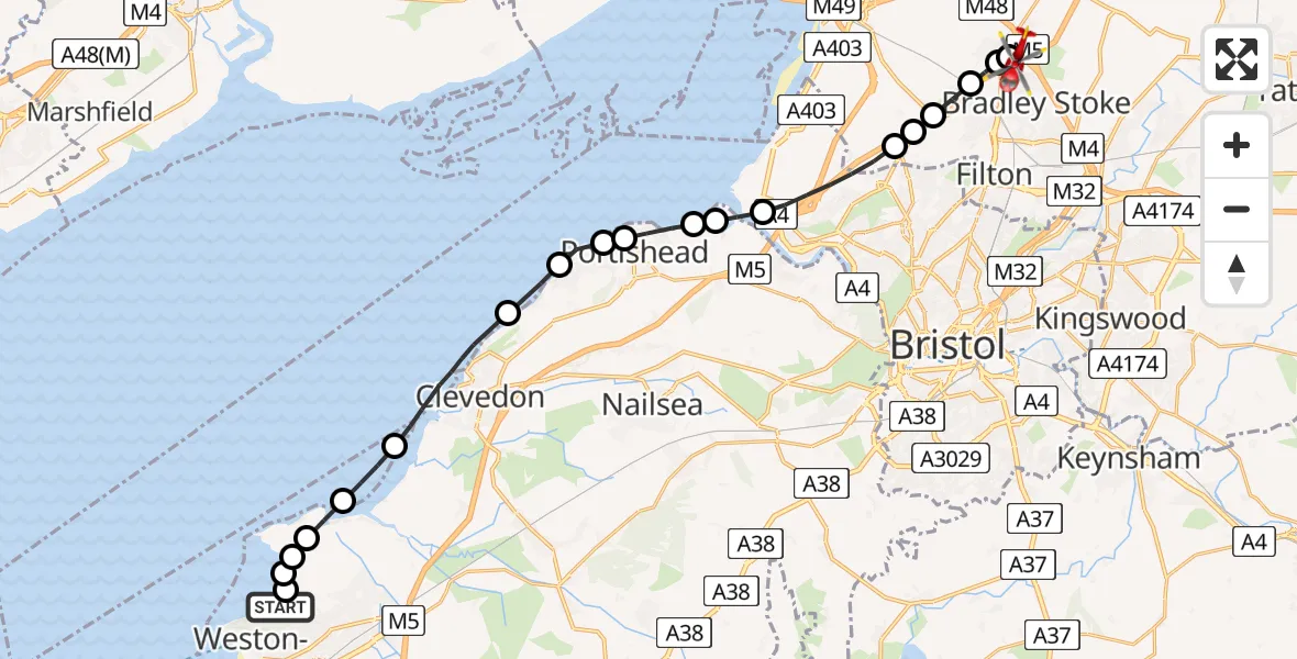
On Friday, 16 January 2026 at 12:54, a Air Ambulance Helicopter departed from Weston-super-Mare to Almondsbury Helicopter Base. It was the Air Ambulance Helicopter with registration number G-GWAC. The flight lasted 11 minutes. During that period, the aircraft travelled 23 miles at an average speed of 123 miles per hour at a maximum altitude of 1225 feet.
Helicopter: G-GWAC
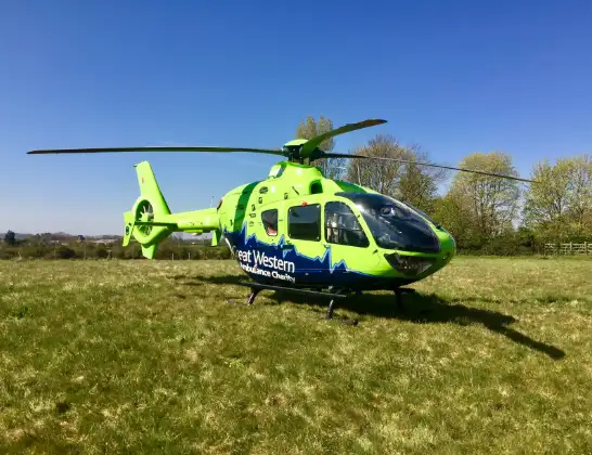
The helicopter G-GWAC is used as a air ambulance helicopter. The main purpose of this aircraft is to transport a Mobile Medical Team to an incident as quickly as possible, enabling the trauma doctor to provide immediate first aid on site. The aircraft is flying this flight as Air Ambulance Helicopter.
Photo: Mojo0306
23 miles
1225 feet
123 mph
12 minutes
12:54
13:05

Route
Almondsbury Helicopter Base, Bristol, Somerset13:05
Almondsbury Helicopter Base, Bristol, Somerset13:04
Almondsbury, West of England13:04
Patchway, West of England13:03
Catbrain, West of England13:03
Bristol, West of England13:03
Catbrain, West of England13:02
Bristol, West of England13:01
Pill and Easton-in-Gordano13:00
Portbury13:00
Portishead12:59
North Weston, Portishead12:59
Portishead12:59
Walton-in-Gordano12:58
Clevedon12:56
Worle, Weston-super-Mare12:55
Kewstoke12:55
Sand Bay12:55
Weston-super-Mare12:54
Church Path, 12:54
Weston-super-Mare12:54
Live flights
Today
Flights Weston-super-Mare
Helicopter flights on your website?
You can easily display helicopter flights on your own website. Use the embed code.
