Air Ambulance Helicopter to Castlemorton, Gloucester Road
Friday, 16 January 2026 | 12:21 | From Apperley
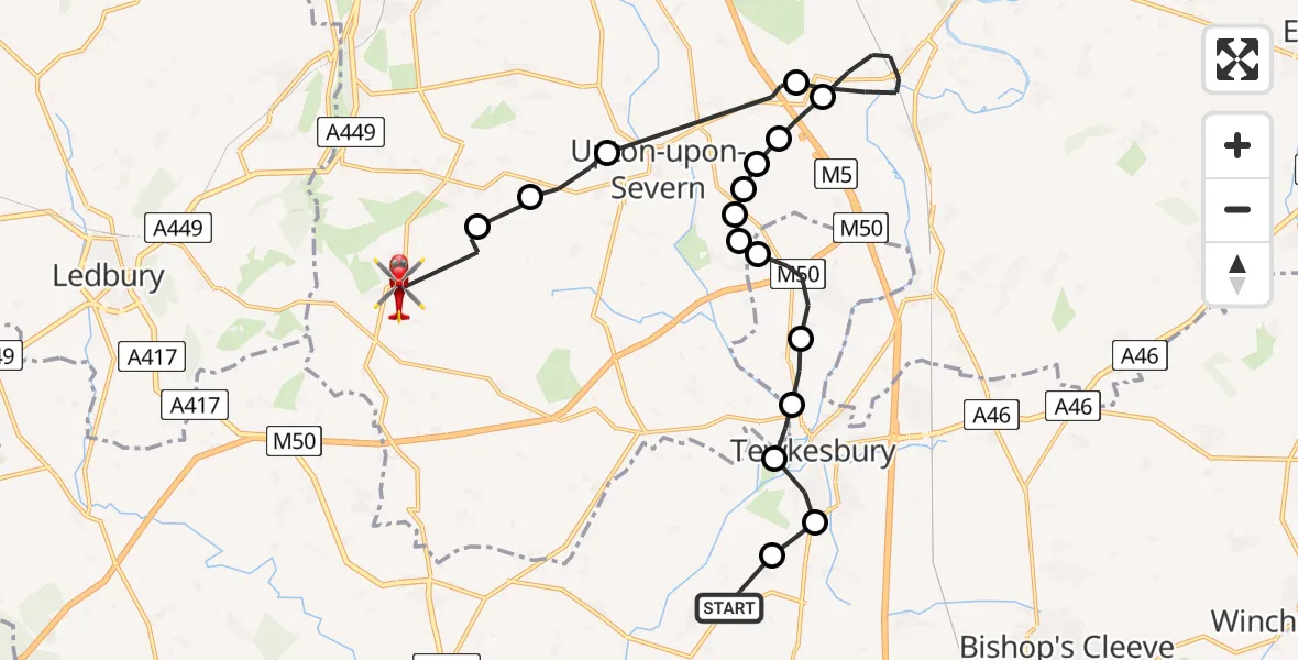
On Friday, 16 January 2026 at 12:21, a Air Ambulance Helicopter departed from Apperley to Castlemorton. It was the Air Ambulance Helicopter with registration number G-SCAA. The flight lasted 12 minutes. During that period, the aircraft travelled 22 miles at an average speed of 108 miles per hour at a maximum altitude of 3300 feet.
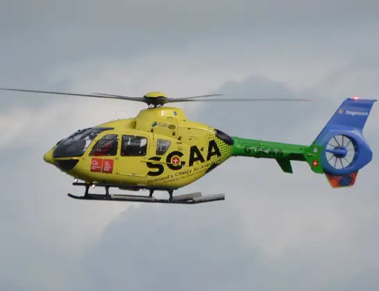
Helicopter: G-SCAA
The helicopter G-SCAA is used as a air ambulance helicopter. The main purpose of this aircraft is to transport a Mobile Medical Team to an incident as quickly as possible, enabling the trauma doctor to provide immediate first aid on site. The aircraft is flying this flight as Air Ambulance Helicopter.
Photo: Jonathan Payne
22 miles
3300 feet
108 mph
13 minutes
12:21
12:33

Route
Gloucester Road, Malvern Hills12:33
Castlemorton, Malvern Hills12:32
Malvern Hills12:31
Upton-upon-Severn, Malvern Hills12:31
Earl's Croome, Malvern Hills12:28
Defford, Wychavon12:26
Hill Croome, Malvern Hills12:25
Ripple, Malvern Hills12:25
Ripple, Upton-upon-Severn12:25
Ripple, Malvern Hills12:24
Ripple, Tewkesbury12:24
Tewkesbury12:24
Twyning, Tewkesbury12:23
Tewkesbury12:22
Bushley, Malvern Hills12:22
Tewkesbury12:21
Deerhurst, Tewkesbury12:21
B4213, Tewkesbury12:21
Today
Flights Castlemorton
Air Ambulance Helicopter to Castlemorton27 Apr 07:37
Flights Apperley
Helicopter flights on your website?
You can easily display helicopter flights on your own website. Use the embed code.
