Police Helicopter to Fryerning, Blackmore Road
Thursday, 15 January 2026 | 12:20 | From Toot Hill
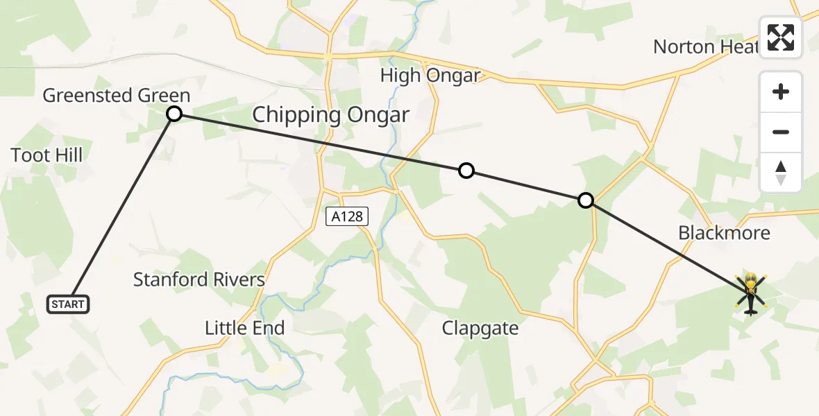
On Thursday, 15 January 2026 at 12:20, a Police Helicopter departed from Toot Hill to Fryerning. It was the Police Helicopter with registration number G-POLF. The flight lasted 3 minutes. During that period, the aircraft travelled 7 miles at an average speed of 138 miles per hour at a maximum altitude of 1100 feet.
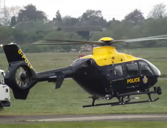
Helicopter: G-POLF
The helicopter G-POLF is used by the British police. The helicopter is deployed in pursuits, missing persons cases and other incidents where a helicopter provides added value.
Photo: James
7 miles
1100 feet
138 mph
3 minutes
12:20
12:23

Route
Blackmore Road, Brentwood12:23
Epping Forest, Essex12:22
High Ongar, Epping Forest12:21
Greensted Green, Epping Forest12:20
Berwick Lane, Epping Forest12:20
Live flights
Today
Flights Fryerning
Police Helicopter to Fryerning, Blackmore Road15 Jan 12:20
Helicopter flights on your website?
You can easily display helicopter flights on your own website. Use the embed code.
