Police Helicopter to Boverton, Tre-Beferad
Wednesday, 14 January 2026 | 15:06 | From Gileston
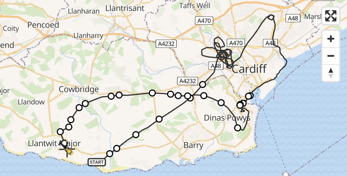
On Wednesday, 14 January 2026 at 15:06, a Police Helicopter departed from Gileston to Boverton. It was the Police Helicopter with registration number G-NWOI. The flight lasted 56 minutes. During that period, the aircraft travelled 67 miles at an average speed of 71 miles per hour at a maximum altitude of 1550 feet.
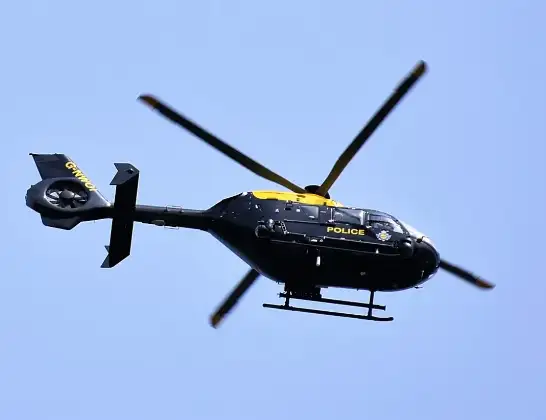
Helicopter: G-NWOI
The helicopter G-NWOI is used by the British police. The helicopter is deployed in pursuits, missing persons cases and other incidents where a helicopter provides added value.
Photo: Alec Wilson
67 miles
1550 feet
71 mph
57 minutes
15:06
16:02

Route
Tre-Beferad, 16:02
Boverton16:02
Llantwit Major16:02
Llanmaes16:01
Sigingstone16:01
Llandough16:01
Cowbridge16:01
St Hilary16:00
Llancarfan15:59
Bonvilston15:59
St Nicholas15:58
Wenvoe15:58
Dyffryn15:58
Wenvoe15:57
Michaelston-le-Pit15:56
Dinas Powys15:55
Penarth15:51
Llandough15:51
Penarth15:50
Cardiff15:49
Cardiff Bay15:48
Cardiff15:10
Wenvoe15:09
Dyffryn15:08
Llancarfan15:07
Penmark15:07
St Athan15:06
Gileston, 15:06
Today
Flights Boverton
Police Helicopter to Boverton, Llanmaes10 Jul 19:54
Police Helicopter to Bonvilston, Boverton Road10 Jul 01:05
Police Helicopter to MOD St Athan9 Jul 22:18
Police Helicopter to Almondsbury Helicopter Base15 Jun 16:12
Police Helicopter to Coytrahen, Bridgend Road31 May 20:28
Police Helicopter to Bristol Channel31 May 13:03
Police Helicopter to MOD St Athan31 May 11:10
Flights Gileston
Police Helicopter to MOD St Athan27 May 01:05
Police Helicopter to Gileston25 May 16:11
Police Helicopter to MOD St Athan18 Mar 15:12
Police Helicopter to Boverton, Tre-Beferad14 Jan 15:06
Police Helicopter to Gileston12 Jan 09:08
Helicopter flights on your website?
You can easily display helicopter flights on your own website. Use the embed code.
