Air Ambulance Helicopter to Withersfield, Skipper's Lane
Wednesday, 14 January 2026 | 10:29 | From Teversham
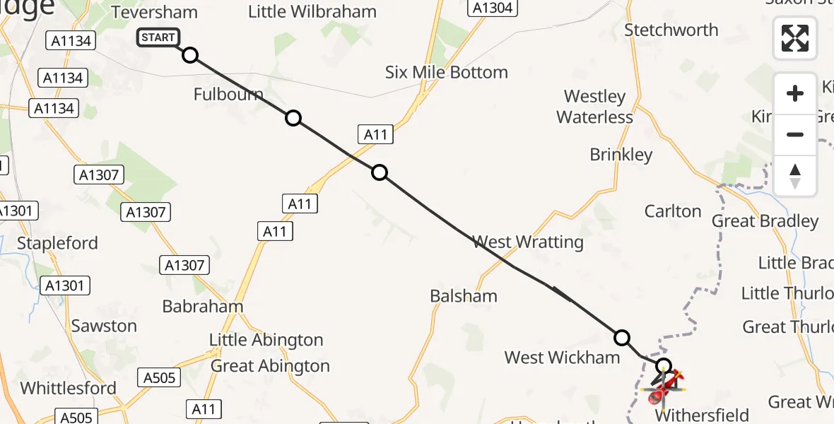
On Wednesday, 14 January 2026 at 10:29, a Air Ambulance Helicopter departed from Teversham to Withersfield. It was the Air Ambulance Helicopter with registration number G-SCAA. The flight lasted 6 minutes. During that period, the aircraft travelled 13 miles at an average speed of 120 miles per hour at a maximum altitude of 1175 feet.
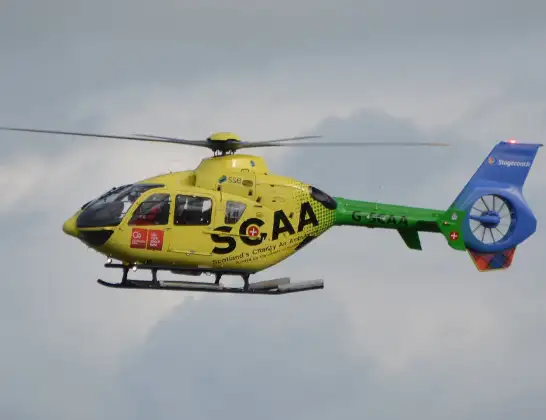
Helicopter: G-SCAA
The helicopter G-SCAA is used as a air ambulance helicopter. The main purpose of this aircraft is to transport a Mobile Medical Team to an incident as quickly as possible, enabling the trauma doctor to provide immediate first aid on site. The aircraft is flying this flight as Air Ambulance Helicopter.
Photo: Jonathan Payne
13 miles
1175 feet
120 mph
7 minutes
10:29
10:36

Route
Skipper's Lane, West Suffolk10:36
Withersfield, West Suffolk10:34
West Wickham, South Cambridgeshire10:34
West Wratting, South Cambridgeshire10:32
Great Wilbraham, South Cambridgeshire10:31
Fulbourn, South Cambridgeshire10:30
Sheppard Way, South Cambridgeshire10:29
Live flights
Today
Flights Withersfield
Flights Teversham
Helicopter flights on your website?
You can easily display helicopter flights on your own website. Use the embed code.
