Air Ambulance Helicopter to North Weald Airfield
Wednesday, 14 January 2026 | 10:19 | From Roydon
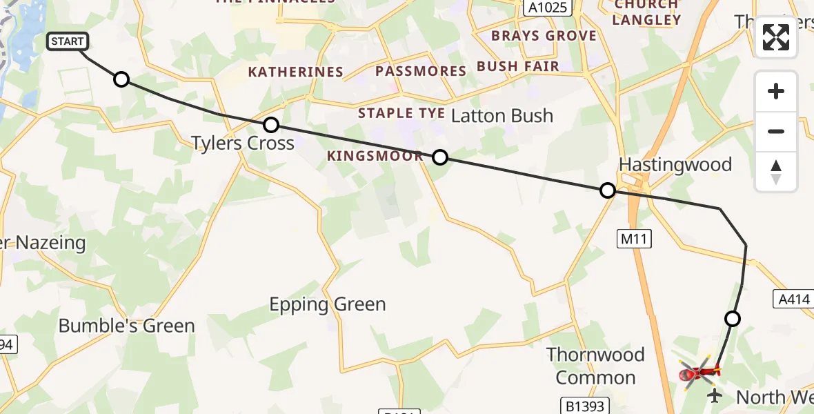
On Wednesday, 14 January 2026 at 10:19, a Air Ambulance Helicopter departed from Roydon to North Weald Airfield. It was the Air Ambulance Helicopter with registration number G-EHAT. The flight lasted 5 minutes. During that period, the aircraft travelled 7 miles at an average speed of 85 miles per hour at a maximum altitude of 1100 feet.
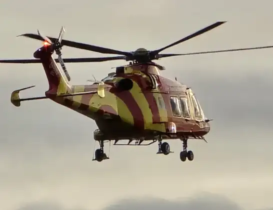
Helicopter: G-EHAT
The helicopter G-EHAT is used as a air ambulance helicopter. The main purpose of this aircraft is to transport a Mobile Medical Team to an incident as quickly as possible, enabling the trauma doctor to provide immediate first aid on site. The aircraft is flying this flight as Air Ambulance Helicopter.
Photo: By Steve Knight
8 miles
1100 feet
85 mph
6 minutes
10:19
10:24

Route
North Weald Airfield, Epping, Essex10:24
North Weald Airfield, Epping, Essex10:23
North Weald Bassett, Epping Forest10:22
Latton Bush, Harlow10:21
Harlow, Essex10:20
Tylers Cross, Epping Forest10:19
Low Hill Road, Epping Forest10:19
Live flights
Today
Air Ambulance Helicopter to Redhill Aerodrome14 Jul 23:46
Coastguard Helicopter to Humberside Airport14 Jul 23:44
Police Helicopter to Johnstone, Gordon Square14 Jul 23:38
Coastguard Helicopter to North Sea14 Jul 23:30
Police Helicopter to Inner Seas14 Jul 23:12
Air Ambulance Helicopter to Norwich Airport14 Jul 22:52
Flights Roydon
Police Helicopter to East Ardsley, Stoney Lane27 Jun 09:57
Air Ambulance Helicopter to North Weald Airfield14 Jan 10:19
Helicopter flights on your website?
You can easily display helicopter flights on your own website. Use the embed code.
