Air Ambulance Helicopter to Peterborough, Westfield Road cycle path
Tuesday, 13 January 2026 | 13:17 | From Haddenham
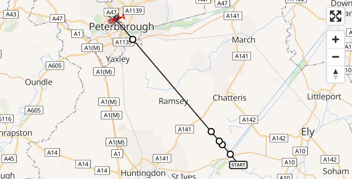
On Tuesday, 13 January 2026 at 13:17, a Air Ambulance Helicopter departed from Haddenham to Peterborough. It was the Air Ambulance Helicopter with registration number G-GWAC. The flight lasted 12 minutes. During that period, the aircraft travelled 25 miles at an average speed of 131 miles per hour at a maximum altitude of 1325 feet.
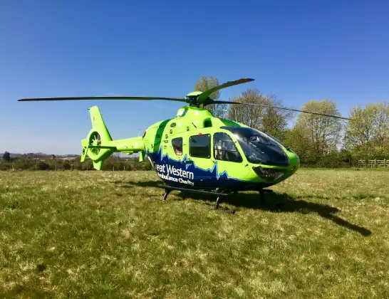
Helicopter: G-GWAC
The helicopter G-GWAC is used as a air ambulance helicopter. The main purpose of this aircraft is to transport a Mobile Medical Team to an incident as quickly as possible, enabling the trauma doctor to provide immediate first aid on site. The aircraft is flying this flight as Air Ambulance Helicopter.
Photo: Mojo0306
26 miles
1325 feet
131 mph
12 minutes
13:17
13:29

Route
Westfield Road cycle path, Cambridgeshire and Peterborough13:29
Peterborough, Cambridgeshire and Peterborough13:24
Huntingdonshire, Cambridgeshire and Peterborough13:19
Somersham, Huntingdonshire13:18
Colne, Huntingdonshire13:18
Cradge Bank, East Cambridgeshire13:18
Haddenham, East Cambridgeshire13:17
Live flights
Today
Flights Peterborough
Police Helicopter to Morborne, New Road17 Jan 11:17
Air Ambulance Helicopter to Over13 Jan 15:22
Flights Haddenham
Police Helicopter to Haddenham, Tythrop Way30 Apr 17:45
Helicopter flights on your website?
You can easily display helicopter flights on your own website. Use the embed code.
