Air Ambulance Helicopter to Corfe Castle, East Street
Monday, 12 January 2026 | 17:37 | From Henstridge
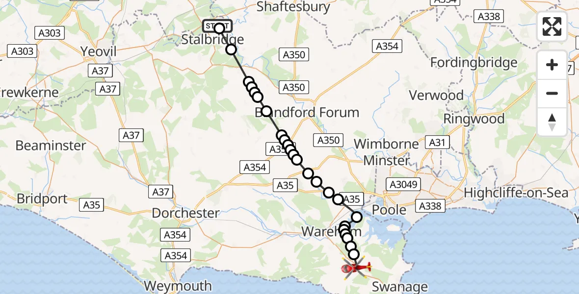
On Monday, 12 January 2026 at 17:37, a Air Ambulance Helicopter departed from Henstridge to Corfe Castle. It was the Air Ambulance Helicopter with registration number G-DSAA. The flight lasted 16 minutes. During that period, the aircraft travelled 31 miles at an average speed of 115 miles per hour at a maximum altitude of 3225 feet.
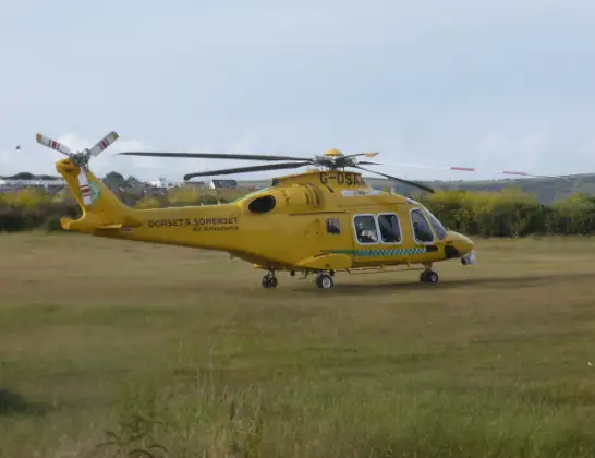
Helicopter: G-DSAA
The helicopter G-DSAA is used as a air ambulance helicopter. The main purpose of this aircraft is to transport a Mobile Medical Team to an incident as quickly as possible, enabling the trauma doctor to provide immediate first aid on site. The aircraft is flying this flight as Air Ambulance Helicopter.
Photo: Andrew Bone
32 miles
3225 feet
115 mph
17 minutes
17:37
17:53

Route
East Street, 17:53
Corfe Castle17:51
Arne17:50
Wareham17:50
Ridge17:49
Arne17:49
Wareham17:49
Wareham St. Martin17:48
Holton Heath17:47
Lytchett Minster and Upton17:46
Morden17:45
Bloxworth17:45
Winterborne Kingston17:44
Anderson17:44
Winterborne Kingston17:44
Charlton Marshall17:43
Winterborne Whitechurch17:43
Winterborne Clenston17:43
Winterborne Stickland17:42
Turnworth17:41
Belchalwell17:41
Okeford Fitzpaine17:40
Fifehead St Quintin17:40
Sturminster Newton17:39
Stalbridge17:37
Henstridge, 17:37
Live flights
Today
Flights Henstridge
Air Ambulance Helicopter to Pulham16 Apr 22:58
Helicopter flights on your website?
You can easily display helicopter flights on your own website. Use the embed code.
