Air Ambulance Helicopter to Eaglescliffe, Eaglescliffe
Saturday, 10 January 2026 | 13:59 | From James Cook University Hospital
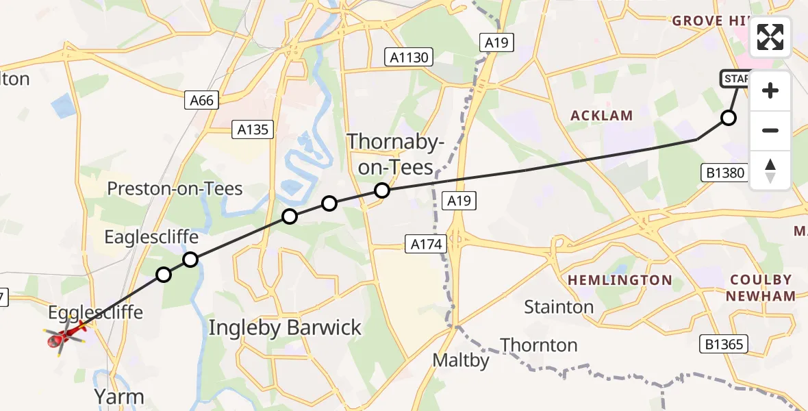
On Saturday, 10 January 2026 at 13:59, a Air Ambulance Helicopter departed from James Cook University Hospital to Eaglescliffe. It was the Air Ambulance Helicopter with registration number G-NHAE. The flight lasted 3 minutes. During that period, the aircraft travelled 7 miles at an average speed of 128 miles per hour at a maximum altitude of 900 feet.
Helicopter: G-NHAE
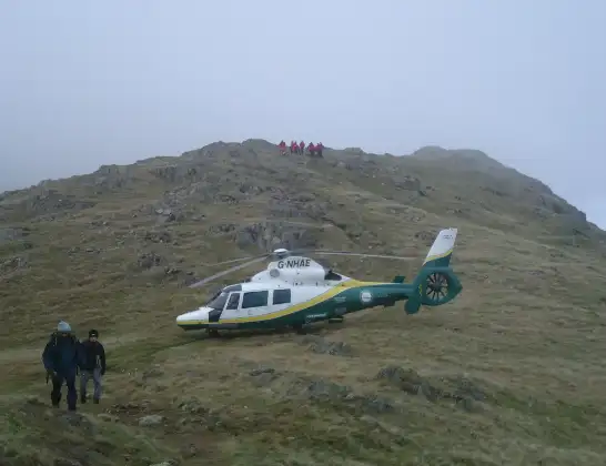
The helicopter G-NHAE is used as a air ambulance helicopter. The main purpose of this aircraft is to transport a Mobile Medical Team to an incident as quickly as possible, enabling the trauma doctor to provide immediate first aid on site. The aircraft is flying this flight as Air Ambulance Helicopter.
Photo: Michael Earnshaw
7 miles
900 feet
128 mph
4 minutes
13:59
14:03

Route
Eaglescliffe, Tees Valley14:03
Eaglescliffe, Tees Valley14:02
Preston-on-Tees, Tees Valley14:02
Stockton-on-Tees, Tees Valley14:02
RAF Thornaby, Stockton-on-Tees, North Yorkshire14:01
Thornaby-on-Tees, Tees Valley14:01
Saltersgill Avenue, Tees Valley14:00
Middlesbrough, Tees Valley14:00
James Cook University Hospital, Middlesbrough13:59
Live flights
Today
Police Helicopter to Epping Forest, Green Lane26 Feb 23:43
Flights Eaglescliffe
Air Ambulance Helicopter to Egglescliffe, A6729 Jan 10:23
Helicopter flights on your website?
You can easily display helicopter flights on your own website. Use the embed code.
