Air Ambulance Helicopter to Treherbert, Scott Street
Saturday, 10 January 2026 | 12:59 | From Dafen
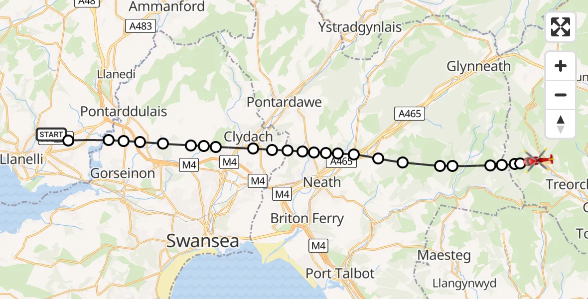
On Saturday, 10 January 2026 at 12:59, a Air Ambulance Helicopter departed from Dafen to Treherbert. It was the Air Ambulance Helicopter with registration number G-WROL. The flight lasted 11 minutes. During that period, the aircraft travelled 25 miles at an average speed of 142 miles per hour at a maximum altitude of 2375 feet.
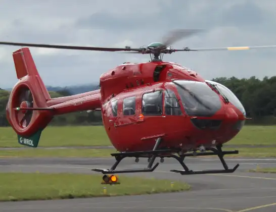
Helicopter: G-WROL
The helicopter G-WROL is used as a air ambulance helicopter. The main purpose of this aircraft is to transport a Mobile Medical Team to an incident as quickly as possible, enabling the trauma doctor to provide immediate first aid on site. The aircraft is flying this flight as Air Ambulance Helicopter.
Photo: James from Cheltenham, Gloucestershire
26 miles
2375 feet
142 mph
11 minutes
12:59
13:10

Route
Scott Street, 13:10
Blaencwm13:10
Treherbert13:09
Gwynfi and Croeserw13:09
Cymer and Glyncorrwg13:09
Glyncorrwg13:08
Cymer and Glyncorrwg13:08
Pelenna13:07
Clyne and Melincourt13:07
Tonna13:06
Cilfrew13:06
Cadoxton-juxta-Neath13:06
Bryncoch13:05
Alltwen13:05
Neath Abbey13:05
Birchgrove13:04
Glais13:04
Ynystawe13:03
Llangyfelach13:03
Swansea13:03
Llangyfelach13:02
Pontlliw13:02
Pontarddulais13:02
Grovesend and Waungron13:01
Llangennech13:00
Llanelli Spinal Route, 13:00
Dafen12:59
Live flights
Today
Police Helicopter to Epping Forest, Green Lane26 Feb 23:43
Flights Treherbert
Flights Dafen
Air Ambulance Helicopter to Dafen, Heol Aur26 Feb 10:12
Air Ambulance Helicopter to Dafen, Heol Aur26 Feb 07:58
Air Ambulance Helicopter to Dafen, Heol Aur25 Feb 09:47
Air Ambulance Helicopter to Dafen, Heol Aur24 Feb 16:12
Air Ambulance Helicopter to Dafen, Heol Aur24 Feb 13:41
Helicopter flights on your website?
You can easily display helicopter flights on your own website. Use the embed code.
