Air Ambulance Helicopter to North Weald Airfield
Saturday, 10 January 2026 | 12:22 | From Borehamwood
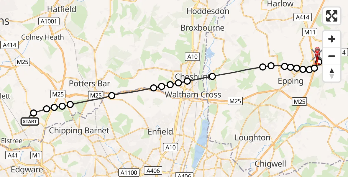
On Saturday, 10 January 2026 at 12:22, a Air Ambulance Helicopter departed from Borehamwood to North Weald Airfield. It was the Air Ambulance Helicopter with registration number G-EHAT. The flight lasted 11 minutes. During that period, the aircraft travelled 19 miles at an average speed of 110 miles per hour at a maximum altitude of 950 feet.
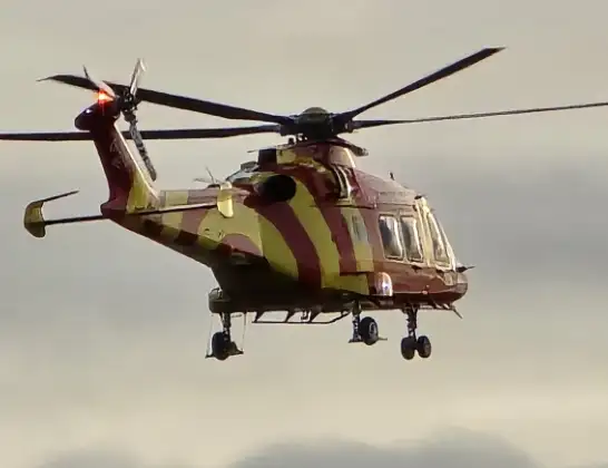
Helicopter: G-EHAT
The helicopter G-EHAT is used as a air ambulance helicopter. The main purpose of this aircraft is to transport a Mobile Medical Team to an incident as quickly as possible, enabling the trauma doctor to provide immediate first aid on site. The aircraft is flying this flight as Air Ambulance Helicopter.
Photo: By Steve Knight
20 miles
950 feet
110 mph
11 minutes
12:22
12:32

Route
North Weald Airfield, Epping, Essex12:32
North Weald Airfield, Epping, Essex12:32
North Weald Bassett, Epping Forest12:31
Coopersale, Epping Forest12:31
North Weald Bassett, Epping Forest12:31
Coopersale, Epping12:30
Coopersale Street, Epping12:30
Epping, Epping Forest12:30
Epping Forest, Essex12:29
Epping Green, Epping Forest12:29
Epping Forest, Essex12:28
Cheshunt12:27
Churchgate, Broxbourne12:27
Waltham Cross12:26
Cheshunt12:26
Dysons Osiers Airstrip, Potters Bar, Hertfordshire12:26
London Borough of Enfield, Greater London12:25
Potters Bar, Hertsmere12:23
Ridge, Hertsmere12:23
Potters Bar, Hertsmere12:23
Borehamwood, Hertsmere12:23
Shenley, Borehamwood12:22
Broughinge Road, Hertsmere12:22
Today
Police Helicopter to Falkirk02:12:08
Flights Borehamwood
Air Ambulance Helicopter to North Weald Airfield10 Jan 12:22
Helicopter flights on your website?
You can easily display helicopter flights on your own website. Use the embed code.
