Police Helicopter to Cranbrook, Broad Park
Saturday, 10 January 2026 | 0:35 | From Poughill
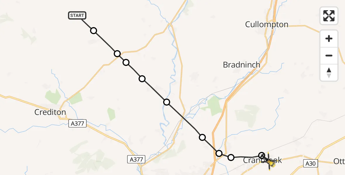
On Saturday, 10 January 2026 at 0:35, a Police Helicopter departed from Poughill to Cranbrook. It was the Police Helicopter with registration number G-CPAS. The flight lasted 5 minutes. During that period, the aircraft travelled 13 miles at an average speed of 148 miles per hour at a maximum altitude of 1700 feet.
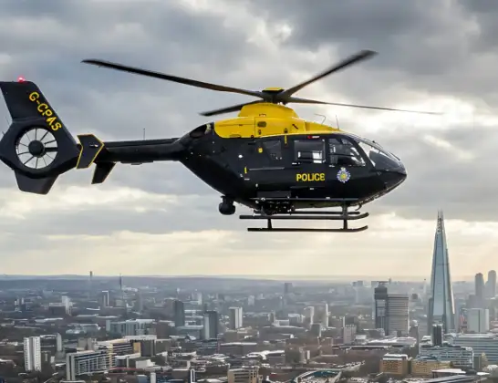
Helicopter: G-CPAS
The helicopter G-CPAS is used by the British police. The helicopter is deployed in pursuits, missing persons cases and other incidents where a helicopter provides added value.
Photo: Tony Melony
14 miles
1700 feet
148 mph
6 minutes
00:35
00:40

Route
Broad Park, Exeter00:40
Cranbrook, Exeter00:40
Broadclyst, East Devon00:39
West Clyst, East Devon00:39
Poltimore, East Devon00:38
Rewe, East Devon00:37
Thorverton, Mid Devon00:37
Mid Devon, Devon and Torbay00:36
Stockleigh Pomeroy, Mid Devon00:36
Cheriton Fitzpaine, Mid Devon00:35
South Yeo Hill, Mid Devon00:35
Live flights
Today
Flights Cranbrook
Police Helicopter to Aylesbeare, Silver Lane9 Jul 19:46
Police Helicopter to Rockbeare, Yarlington Mill27 Jun 21:56
Air Ambulance Helicopter to Dunster20 May 17:16
Police Helicopter to Rockbeare, Westcott Road17 May 22:03
Air Ambulance Helicopter to Halberton2 May 12:59
Flights Poughill
Police Helicopter to Cranbrook, Broad Park10 Jan 00:35
Helicopter flights on your website?
You can easily display helicopter flights on your own website. Use the embed code.
