Police Helicopter to Rockbeare, Silver Lane
Friday, 9 January 2026 | 19:56 | From Christow
On Friday, 9 January 2026 at 19:56, a Police Helicopter departed from Christow to Rockbeare. It was the Police Helicopter with registration number G-CPAS. The flight lasted 6 minutes. During that period, the aircraft travelled 14 miles at an average speed of 134 miles per hour at a maximum altitude of 2450 feet.
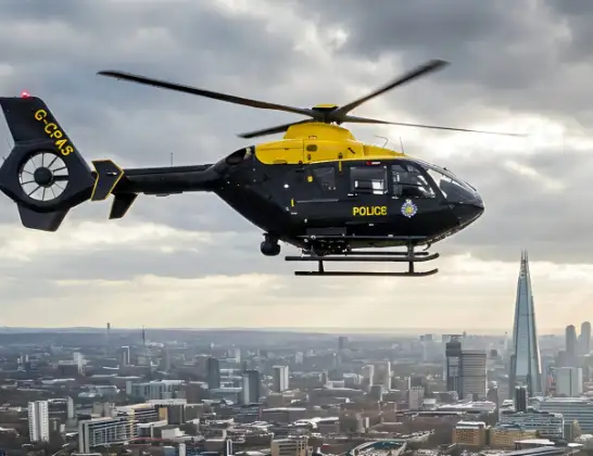
Helicopter: G-CPAS
The helicopter G-CPAS is used by the British police. The helicopter is deployed in pursuits, missing persons cases and other incidents where a helicopter provides added value.
Photo: Tony Melony
15 miles
2450 feet
134 mph
7 minutes
19:56
20:03

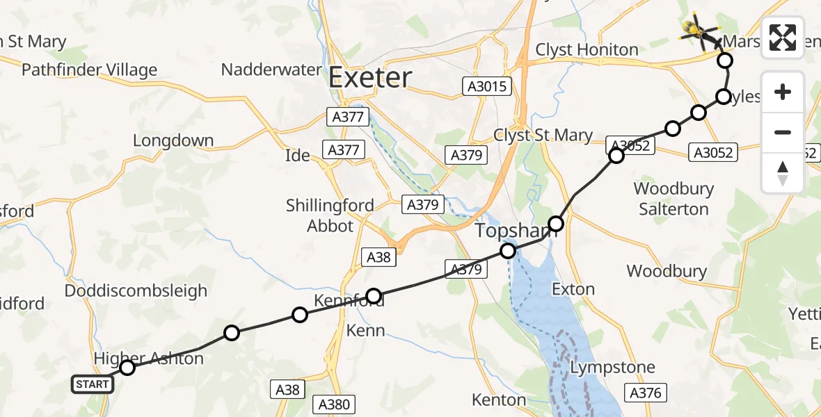
Route
Silver Lane, East Devon20:03
Rockbeare, East Devon20:02
Aylesbeare, East Devon20:02
East Devon, East Devon20:01
Clyst St Mary, East Devon20:01
East Devon, East Devon20:01
Clyst St. George, East Devon20:00
Topsham, Exeter19:59
Exminster, Teignbridge19:58
Kennford, Teignbridge19:58
Teignbridge, Teignbridge19:57
Higher Ashton, Teignbridge19:57
Christow, Teignbridge19:56
Live flights
Today
Flights Rockbeare
Police Helicopter to Southgate, Eastcliff11 Jul 18:41
Police Helicopter to Rockbeare, Silver Lane5 Jul 20:57
Police Helicopter to Rockbeare, Gribble Lane5 Jul 16:32
Police Helicopter to Rockbeare, Silver Lane4 Jul 18:20
Police Helicopter to Rockbeare, Westcott Road30 Jun 18:50
Police Helicopter to Rockbeare, Westcott Road29 Jun 16:58
Flights Christow
Air Ambulance Helicopter to Christow, B319326 Feb 16:39
Police Helicopter to Rockbeare, Silver Lane9 Jan 19:56
Helicopter flights on your website?
You can easily display helicopter flights on your own website. Use the embed code.
