RescueRadar.co.uk logo RescueRadar.co.uk
  • All
  • By location
  • Widget
  • About us

Emergency flights Pontlliw

Flights to and from Pontlliw
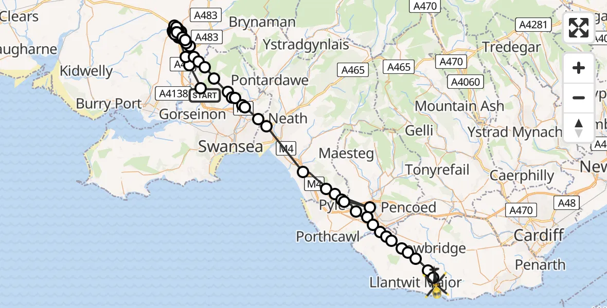
Routekaart van de vlucht: Police Helicopter to MOD St Athan
Helikopter icon

Police Helicopter to MOD St Athan10 Apr 23:09 | duration: 67 min. | distance: 91 miles

Live flights
Aircraft Icon

Police Helicopter on its way from Hawarden Airport02:36:38

Aircraft Icon

Police Helicopter on its way from North Weald Airfield02:01:56

Aircraft Icon

Police Helicopter on its way from Metropolitan Police Air Support Unit Lippitts Hill01:32:52

Today
Aircraft Icon

Air Ambulance Aircraft to Kirkwall, Searchlight Emplacement (Second World War) - Twartquoy02:16:02

Aircraft Icon

Air Ambulance Aircraft to Kirkwall, Searchlight Emplacement (Second World War) - Twartquoy01:45:07

Aircraft Icon

Police Helicopter to MOD St Athan01:18:15

Aircraft Icon

Police Helicopter to Pontardawe, Heol Las01:15:44

Aircraft Icon

Police Helicopter to Pontardawe, Heol Las01:10:35

Aircraft Icon

Police Helicopter to Pontardawe, Gellyfowy Road00:51:58

Aircraft Icon

Police Helicopter to Sandycroft, B512900:26:38

Aircraft Icon

Police Helicopter to South Nutfield, Crab Hill Lane00:13:22

Aircraft Icon

Police Helicopter to Wrenthorpe, Stoney Lane00:05:08

More...

Helicopter flights on your website?

You can easily display helicopter flights on your own website. Use the embed code.

Laptop with RescueRadar WordPress plugin

Information

  • About us
  • Privacy Policy
  • Terms and Conditions

Social Media

  • Embed
RescueRadar.co.uk logoRescueRadar.co.uk

SNOEI.NET 2026


Copyright © 2013 - 2026, SNOEI.NET