Air Ambulance Helicopter to City of Nottingham, Lower Road
Sunday, 27 September 2026 | 14:45 | From South Kesteven
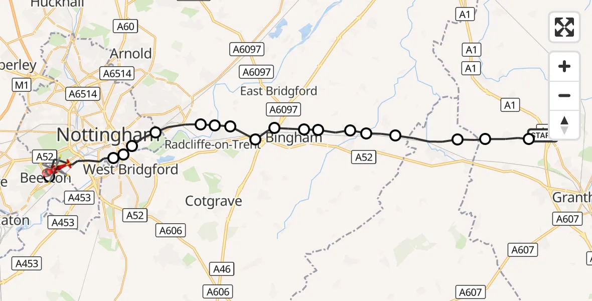
On Sunday, 27 September 2026 at 14:45, a Air Ambulance Helicopter departed from South Kesteven to City of Nottingham. It was the Air Ambulance Helicopter with registration number G-WNAS. The flight lasted 10 minutes. During that period, the aircraft travelled 24 miles at an average speed of 148 miles per hour at a maximum altitude of 1225 feet.
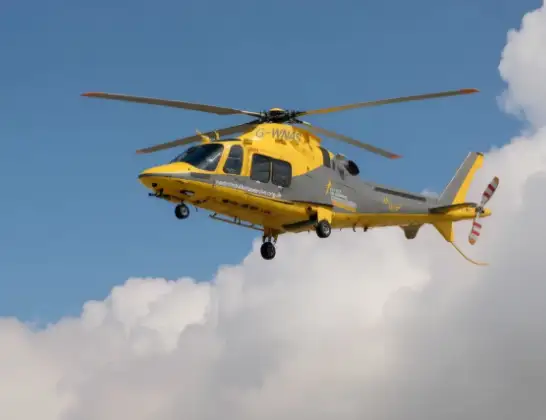
Helicopter: G-WNAS
The helicopter G-WNAS is used as an ambulance helicopter. The helicopter is equipped with a stretcher for transporting patients. The helicopter is often used to transport to hospitals.
Photo: Tony Melony

24 miles
1225 feet

148 mph
10 minutes
14:45
14:54
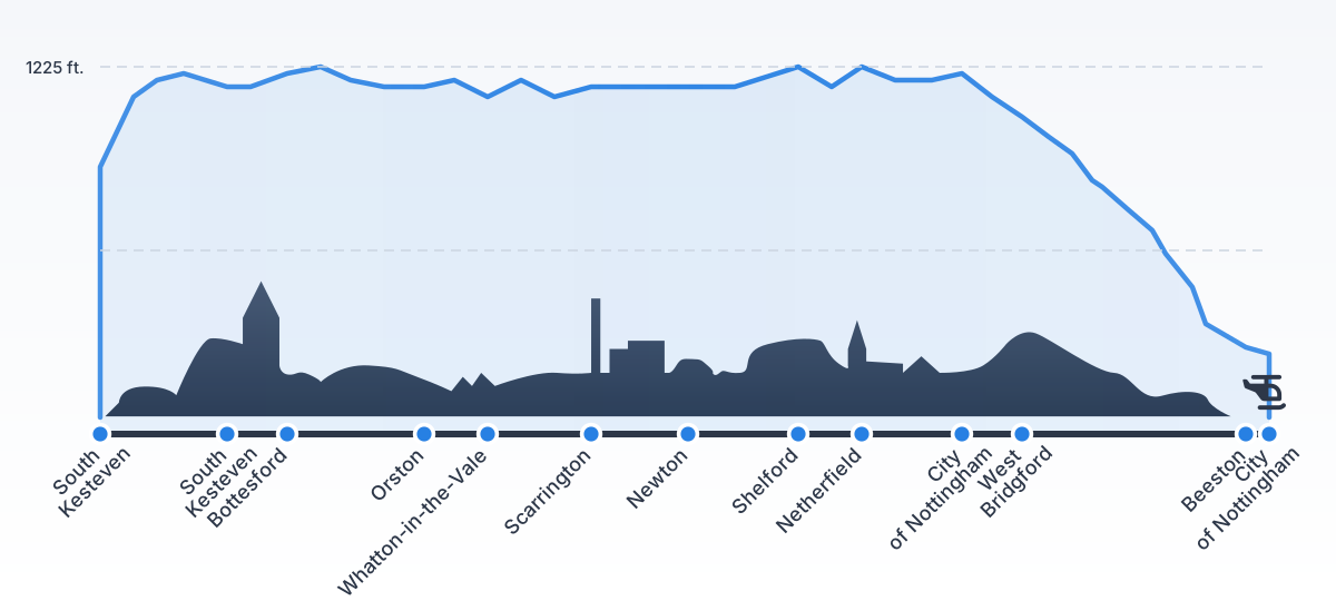
Route

Lower Road, Nottinghamshire14:54

Beeston, Nottinghamshire14:54
City of Nottingham, Nottingham14:52
City of Nottingham, Nottinghamshire14:52
West Bridgford, Nottinghamshire14:52
City of Nottingham, Nottingham14:51
Netherfield, Nottinghamshire14:51
Stoke Bardolph, Nottinghamshire14:50
Shelford, Nottinghamshire14:50
Rushcliffe, Nottinghamshire14:50
Newton, Nottinghamshire14:49
Bingham, Nottinghamshire14:49
Scarrington, Nottinghamshire14:49
Aslockton, Nottinghamshire14:48
Whatton-in-the-Vale, Nottinghamshire14:48
Orston, Nottinghamshire14:47
Bottesford, Leicestershire14:46
South Kesteven, Lincolnshire14:46
Allington, Lincolnshire14:45

Great North Road, Lincolnshire14:45
Live flights


Today

Helicopter flights on your website?
You can easily display helicopter flights on your own website. Use the embed code.