Air Ambulance Helicopter to Bradgate Heights, Groby Road
Saturday, 27 June 2026 | 10:06 | From Stanton under Bardon
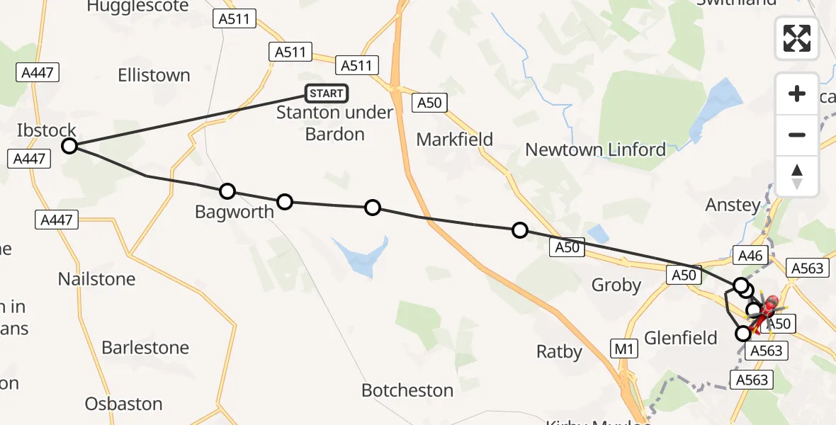
On Saturday, 27 June 2026 at 10:06, a Air Ambulance Helicopter departed from Stanton under Bardon to Bradgate Heights. It was the Air Ambulance Helicopter with registration number G-WNAS. The flight lasted 6 minutes. During that period, the aircraft travelled 14 miles at an average speed of 150 miles per hour at a maximum altitude of 1475 feet.
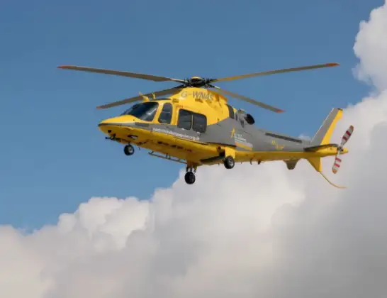
Helicopter: G-WNAS
The helicopter G-WNAS is used as an ambulance helicopter. The helicopter is equipped with a stretcher for transporting patients. The helicopter is often used to transport to hospitals.
Photo: Tony Melony
15 miles
1475 feet
150 mph
6 minutes
10:06
10:12

Route
Groby Road, Leicester10:12
Bradgate Heights, Leicester10:12
Anstey, Leicestershire10:11
Glenfield, Leicestershire10:11
Bradgate Heights, Leicester10:10
Glenfield, Leicestershire10:10
Groby, Leicestershire10:09
Markfield, Leicestershire10:08
Thornton, Leicestershire10:08
Bagworth, Leicestershire10:07
Ibstock, Leicestershire10:07
Billa Barra Lane, Leicestershire10:06
Live flights
Today
Helicopter flights on your website?
You can easily display helicopter flights on your own website. Use the embed code.
