Air Ambulance Helicopter to Earls Colne Airfield
Sunday, 17 May 2026 | 8:16 | From Earls Colne Airfield
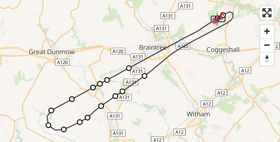
On Sunday, 17 May 2026 at 8:16, a Air Ambulance Helicopter departed from Earls Colne Airfield to Earls Colne Airfield. It was the Air Ambulance Helicopter with registration number G-EHAT. The flight lasted 20 minutes. During that period, the aircraft travelled 36 miles at an average speed of 111 miles per hour at a maximum altitude of 1225 feet.
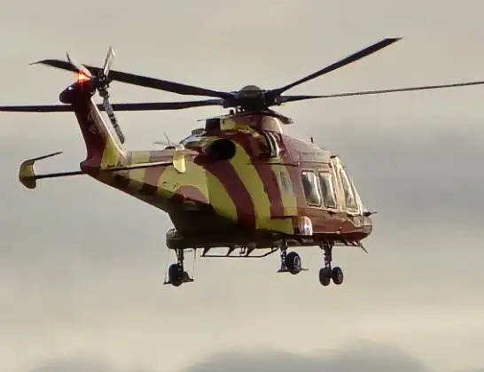
Helicopter: G-EHAT
The helicopter G-EHAT is used as a air ambulance helicopter. The main purpose of this aircraft is to transport a Mobile Medical Team to an incident as quickly as possible, enabling the trauma doctor to provide immediate first aid on site. The aircraft is flying this flight as Air Ambulance Helicopter.
Photo: By Steve Knight
37 miles
1225 feet
111 mph
20 minutes
08:16
08:36

Route
Earls Colne Airfield, Colchester, Essex08:36
Earls Colne Airfield, Colchester, Essex08:35
Braintree, Essex08:30
Great Leighs, Essex08:30
Chelmsford, Essex08:29
Howe Street, Essex08:29
Great Waltham, Essex08:28
Pleshey, Essex08:28
Chelmsford, Essex08:28
Good Easter, Essex08:27
High Easter, Essex08:27
Uttlesford, Essex08:26
Ford End, Essex08:25
Uttlesford, Essex08:25
Howe Street, Essex08:25
Uttlesford, Essex08:24
Braintree, Essex08:20
Earls Colne Airfield, Colchester, Essex08:19
Earls Colne Airfield, Colchester, Essex08:16
Live flights
Today
Helicopter flights on your website?
You can easily display helicopter flights on your own website. Use the embed code.
