Air Ambulance Helicopter to Tow Law, Attlee Court
Friday, 8 May 2026 | 10:04 | From Egglescliffe
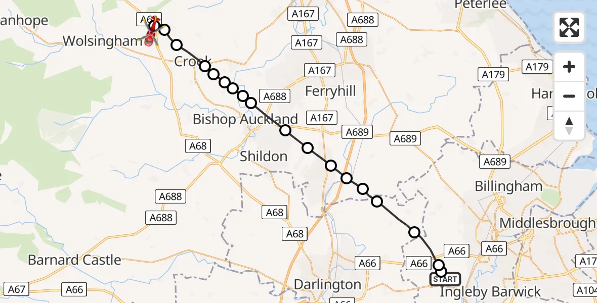
On Friday, 8 May 2026 at 10:04, a Air Ambulance Helicopter departed from Egglescliffe to Tow Law. It was the Air Ambulance Helicopter with registration number G-NHAD. The flight lasted 9 minutes. During that period, the aircraft travelled 23 miles at an average speed of 151 miles per hour at a maximum altitude of 1425 feet.
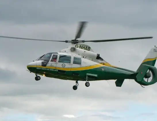
Helicopter: G-NHAD
The helicopter G-NHAD is used as a air ambulance helicopter. The main purpose of this aircraft is to transport a Mobile Medical Team to an incident as quickly as possible, enabling the trauma doctor to provide immediate first aid on site. The aircraft is flying this flight as Air Ambulance Helicopter.
Photo: Samloynes 1
24 miles
1425 feet
151 mph
10 minutes
10:04
10:13

Route
Attlee Court, County Durham10:13
Tow Law, County Durham10:13
Wolsingham, County Durham10:13
Roddymoor, County Durham10:12
Crook, County Durham10:11
New Hunwick, County Durham10:11
Sunnybrow, County Durham10:11
Byers Green, County Durham10:11
Bishop Auckland, County Durham10:10
Spennymoor, County Durham10:10
Coundon, County Durham10:09
Spennymoor, County Durham10:09
Newton Aycliffe, County Durham10:08
Great Aycliffe, County Durham10:08
Mordon, County Durham10:07
Great Stainton, Darlington10:07
Bishopton, Darlington10:06
Longnewton, Stockton-on-Tees10:05
Elton, Stockton-on-Tees10:05
Longnewton Lane, Stockton-on-Tees10:04
Live flights
Today
Flights Egglescliffe
Air Ambulance Helicopter to Egglescliffe, A6722 Jun 11:40
Air Ambulance Helicopter to Ugthorpe20 Jun 17:15
Air Ambulance Helicopter to Egglescliffe17 Jun 18:53
Helicopter flights on your website?
You can easily display helicopter flights on your own website. Use the embed code.
