Police Helicopter to East Ardsley, Stoney Lane
Monday, 4 May 2026 | 21:28 | From East Ardsley
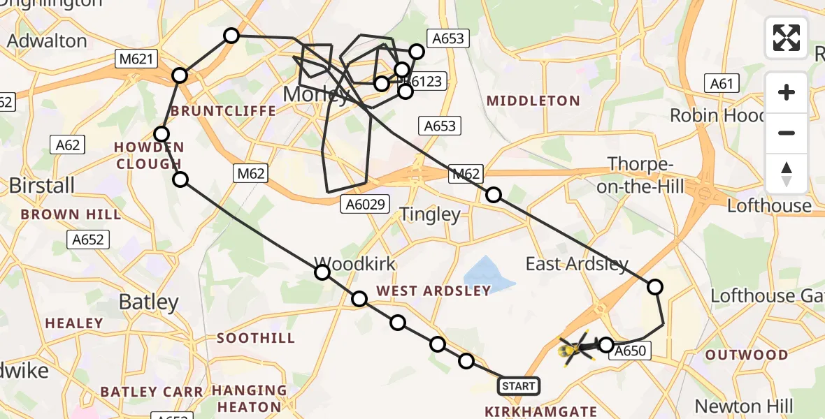
On Monday, 4 May 2026 at 21:28, a Police Helicopter departed from East Ardsley to East Ardsley. It was the Police Helicopter with registration number G-TVHB. The flight lasted 13 minutes. During that period, the aircraft travelled 20 miles at an average speed of 92 miles per hour at a maximum altitude of 1650 feet.
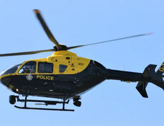
Helicopter: G-TVHB
The helicopter G-TVHB is used by the British police. The helicopter is deployed in pursuits, missing persons cases and other incidents where a helicopter provides added value.
Photo: Alec Wilson
21 miles
1650 feet
92 mph
14 minutes
21:28
21:42

Route
Stoney Lane, West Yorkshire - Wakefield21:42
East Ardsley, Wakefield21:41
Lawns, Wakefield21:40
East Ardsley, Leeds21:39
Morley, Leeds21:36
Middleton, Leeds21:36
Morley, Leeds21:34
Middleton, Leeds21:34
Morley, Leeds21:31
Gildersome, Leeds21:31
Birstall, Kirklees21:31
Batley, Leeds21:30
Morley, Leeds21:30
Dewsbury, Kirklees21:29
Dewsbury, Leeds21:29
East Ardsley, Leeds21:29
Gawthorpe, Leeds21:29
M1, West Yorkshire - Leeds21:28
Live flights
Today
Helicopter flights on your website?
You can easily display helicopter flights on your own website. Use the embed code.
