Air Ambulance Helicopter to Catterick Garrison, Oaktree Avenue
Monday, 4 May 2026 | 17:17 | From RAF Topcliffe
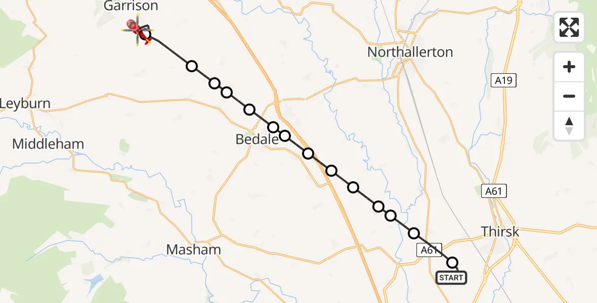
On Monday, 4 May 2026 at 17:17, a Air Ambulance Helicopter departed from RAF Topcliffe to Catterick Garrison. It was the Air Ambulance Helicopter with registration number G-YORX. The flight lasted 10 minutes. During that period, the aircraft travelled 18 miles at an average speed of 108 miles per hour at a maximum altitude of 1225 feet.
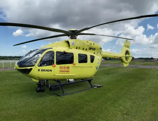
Helicopter: G-YORX
The helicopter G-YORX is used as a air ambulance helicopter. The main purpose of this aircraft is to transport a Mobile Medical Team to an incident as quickly as possible, enabling the trauma doctor to provide immediate first aid on site. The aircraft is flying this flight as Air Ambulance Helicopter.
Photo: Arollin96227
19 miles
1225 feet
108 mph
11 minutes
17:17
17:27

Route
Oaktree Avenue, North Yorkshire17:27
Catterick Garrison, North Yorkshire17:26
Hornby, North Yorkshire17:25
Hackforth, North Yorkshire17:24
Little Crakehall, North Yorkshire17:24
Great Crakehall, North Yorkshire17:24
Aiskew, North Yorkshire17:23
Leeming Bar, North Yorkshire17:23
Exelby, North Yorkshire17:22
Burneston, North Yorkshire17:22
Swainby with Allerthorpe, North Yorkshire17:21
Pickhill, North Yorkshire17:21
Holme, North Yorkshire17:21
Sandhutton, North Yorkshire17:20
Carlton Miniott, North Yorkshire17:19
RAF Topcliffe, Thirsk, North Yorkshire17:18
RAF Topcliffe, Thirsk, North Yorkshire17:17
Live flights
Police Helicopter on its way from Dundrod12 Jul 22:50
Today
Police Helicopter to East Ardsley, Stoney Lane12 Jul 23:51
Police Helicopter to Birmingham Airport12 Jul 23:46
Police Helicopter to Parkham Ash12 Jul 23:41
Air Ambulance Helicopter to Newlands of Culloden12 Jul 23:24
Helicopter flights on your website?
You can easily display helicopter flights on your own website. Use the embed code.
