Air Ambulance Helicopter to Penwyllt, Pen y Cae
Monday, 4 May 2026 | 16:16 | From Llywel
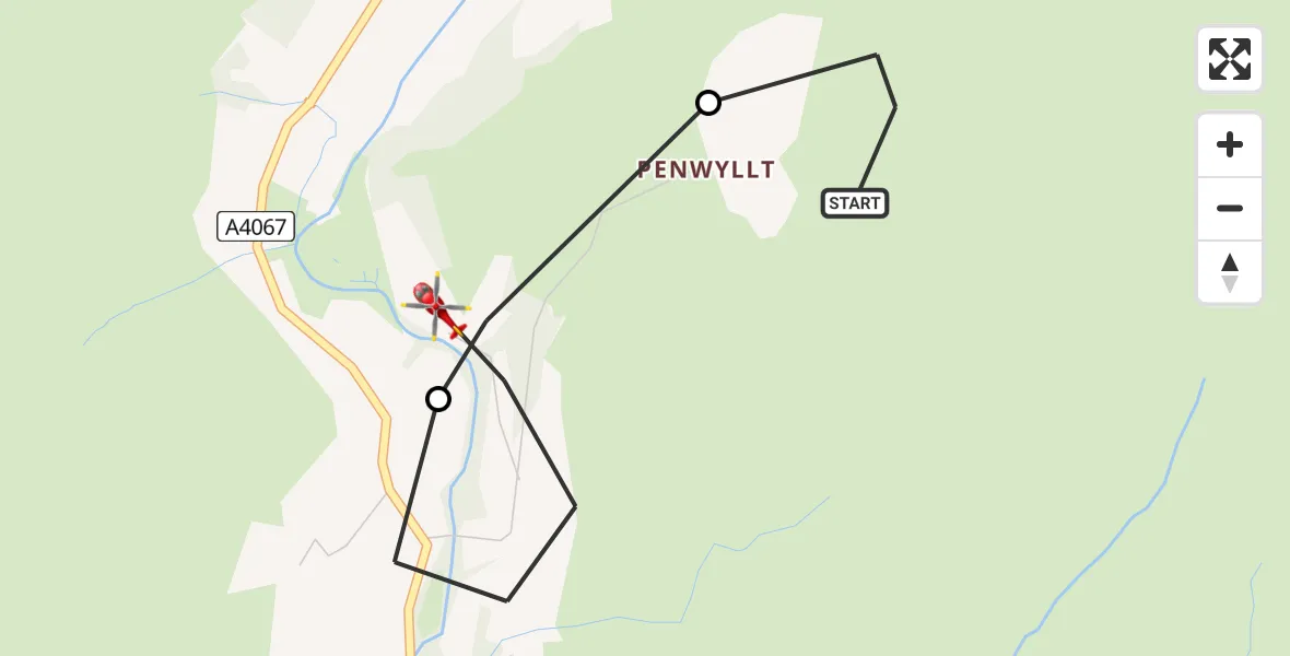
On Monday, 4 May 2026 at 16:16, a Air Ambulance Helicopter departed from Llywel to Penwyllt. It was the Air Ambulance Helicopter with registration number G-WROL. The flight lasted 3 minutes. During that period, the aircraft travelled 3 miles at an average speed of 64 miles per hour at a maximum altitude of 1650 feet.
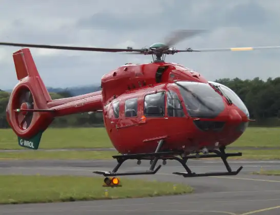
Helicopter: G-WROL
The helicopter G-WROL is used as a air ambulance helicopter. The main purpose of this aircraft is to transport a Mobile Medical Team to an incident as quickly as possible, enabling the trauma doctor to provide immediate first aid on site. The aircraft is flying this flight as Air Ambulance Helicopter.
Photo: James from Cheltenham, Gloucestershire
3 miles
1650 feet
64 mph
3 minutes
16:16
16:19

Route
Pen y Cae, Powys16:19
Pen y Cae, Powys16:18
Penwyllt, Powys16:17
Heol Callwen, Powys16:16
Live flights
Today
Flights Penwyllt
Flights Llywel
Police Helicopter to MOD St Athan22 Apr 21:21
Coastguard Helicopter to MOD St Athan6 Apr 17:10
Helicopter flights on your website?
You can easily display helicopter flights on your own website. Use the embed code.
