Police Helicopter to Newcastle International Airport
Monday, 4 May 2026 | 14:33 | From Walker
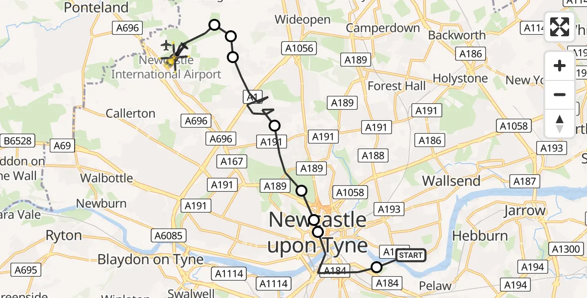
On Monday, 4 May 2026 at 14:33, a Police Helicopter departed from Walker to Newcastle International Airport. It was the Police Helicopter with registration number G-POLA. The flight lasted 7 minutes. During that period, the aircraft travelled 12 miles at an average speed of 106 miles per hour at a maximum altitude of 1600 feet.
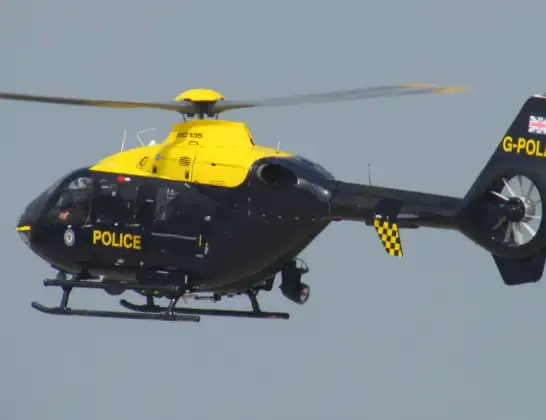
Helicopter: G-POLA
The helicopter G-POLA is used by the British police. The helicopter is deployed in pursuits, missing persons cases and other incidents where a helicopter provides added value.
Photo: ozz13x
12 miles
1600 feet
106 mph
7 minutes
14:33
14:40

Route
Newcastle International Airport, Newcastle upon Tyne, Tyne and Wear14:40
Newcastle International Airport, Newcastle upon Tyne, Tyne and Wear14:39
Dinnington, Newcastle upon Tyne14:38
Woolsington, Newcastle upon Tyne14:38
Coxlodge, Newcastle upon Tyne14:36
Cowgate, Newcastle upon Tyne14:35
Spital Tongues, Newcastle upon Tyne14:34
Grainger Town, Newcastle upon Tyne14:34
Gateshead, Gateshead14:33
Sandy Crescent, Tyne and Wear - Newcastle upon Tyne14:33
Live flights
Today
Flights Walker
Helicopter flights on your website?
You can easily display helicopter flights on your own website. Use the embed code.
