Coastguard Drone to English Channel
Monday, 4 May 2026 | 6:58 | From North Sea
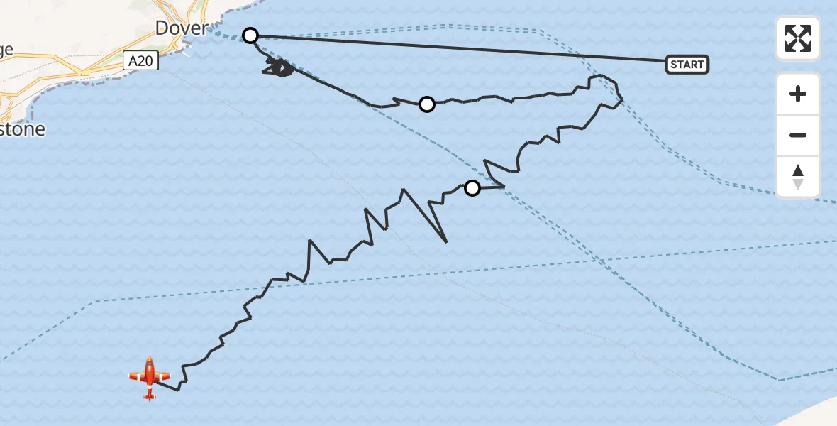
On Monday, 4 May 2026 at 6:58, a Coastguard Drone departed from North Sea to English Channel. It was the Coastguard Drone with registration number G-UASA. The flight lasted 49 minutes. During that period, the aircraft travelled 76 miles at an average speed of 94 miles per hour at a maximum altitude of 1500 feet.
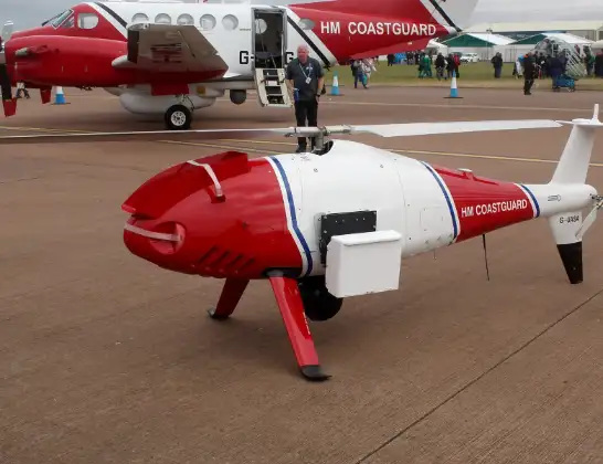
Helicopter: G-UASA
The drone G-UASA is used by the British Coastguard. The drone is deployed in search and rescue operations at sea, rescue operations involving ships or drilling platforms, patrols to prevent smuggling or piracy, environmental monitoring and disaster relief support.
Photo: Mike Burdett, CROMER, UK
77 miles
1500 feet
94 mph
49 minutes
06:58
07:47

Route
English Channel, 07:47
English Channel07:37
North Sea07:26
English Channel06:59
North Sea, 06:58
Live flights
Today
Helicopter flights on your website?
You can easily display helicopter flights on your own website. Use the embed code.
