Police Helicopter to Bournemouth Airport
Sunday, 3 May 2026 | 19:42 | From Parley Cross
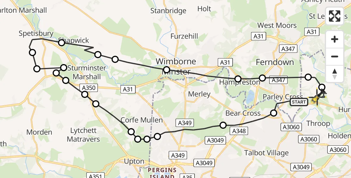
On Sunday, 3 May 2026 at 19:42, a Police Helicopter departed from Parley Cross to Bournemouth Airport. It was the Police Helicopter with registration number G-CPAO. The flight lasted 14 minutes. During that period, the aircraft travelled 29 miles at an average speed of 124 miles per hour at a maximum altitude of 1575 feet.
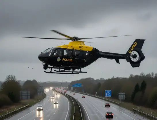
Helicopter: G-CPAO
The helicopter G-CPAO is used by the British police. The helicopter is deployed in pursuits, missing persons cases and other incidents where a helicopter provides added value.
Photo: Tony Melony
29 miles
1575 feet
124 mph
14 minutes
19:42
19:56

Route
Bournemouth Airport, Bournemouth19:56
Bournemouth Airport, Bournemouth19:56
Hurn, Bournemouth, Christchurch and Poole19:55
Ferndown, Dorset19:54
Hampreston, Dorset19:54
Wimborne Minster, Dorset19:53
Pamphill, Dorset19:52
Sturminster Marshall, Dorset19:51
Shapwick, Dorset19:51
Spetisbury, Dorset19:50
Sturminster Marshall, Dorset19:49
Newton Peveril Airfield, Wimborne, Dorset19:49
Spetisbury, Dorset19:49
Newton Peveril Airfield, Wimborne, Dorset19:49
Sturminster Marshall, Dorset19:48
Lytchett Matravers, Dorset19:48
Corfe Mullen, Dorset19:47
Upton, Dorset19:47
Poole, Bournemouth, Christchurch and Poole19:46
Corfe Mullen, Dorset19:46
Poole, Bournemouth, Christchurch and Poole19:45
Bournemouth, Bournemouth, Christchurch and Poole19:43
Christchurch Road, Dorset19:42
Live flights
Today
Helicopter flights on your website?
You can easily display helicopter flights on your own website. Use the embed code.
