Police Helicopter to Royal Tunbridge Wells, Nevill Street
Sunday, 3 May 2026 | 17:50 | From Tandridge
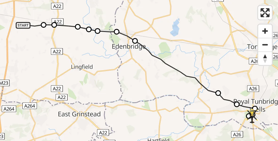
On Sunday, 3 May 2026 at 17:50, a Police Helicopter departed from Tandridge to Royal Tunbridge Wells. It was the Police Helicopter with registration number G-POLH. The flight lasted 9 minutes. During that period, the aircraft travelled 19 miles at an average speed of 125 miles per hour at a maximum altitude of 1500 feet.
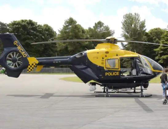
Helicopter: G-POLH
The helicopter G-POLH is used by the British police. The helicopter is deployed in pursuits, missing persons cases and other incidents where a helicopter provides added value.
Photo: Arpingstone
19 miles
1500 feet
125 mph
9 minutes
17:50
17:59

Route
Nevill Street, Kent17:59
Royal Tunbridge Wells, Kent17:57
Rusthall, Kent17:57
Royal Tunbridge Wells, Kent17:57
Rusthall, Kent17:56
Speldhurst, Kent17:55
Sevenoaks, Kent17:53
Edenbridge, Kent17:52
Tandridge, Surrey17:52
Oxted, Surrey17:51
Crowhurst, Surrey17:51
South Godstone, Surrey17:51
Blindley Heath, Surrey17:50
Outwood Lane, Surrey17:50
Live flights
Today
Police Helicopter to Glasgow, South Street6 Jul 23:22
Police Helicopter to South Lanarkshire6 Jul 23:09
Police Helicopter to North Weald Airfield6 Jul 22:57
Police Aircraft to East Midlands Airport6 Jul 22:56
Police Helicopter to Lochhead, A726 Jul 22:39
Flights Tandridge
Police Helicopter to Salfords, Cross Oak Lane31 May 19:55
Helicopter flights on your website?
You can easily display helicopter flights on your own website. Use the embed code.
