Air Ambulance Helicopter to Broad Chalke, Knighton Road
Sunday, 3 May 2026 | 15:06 | From University Hospital Southampton
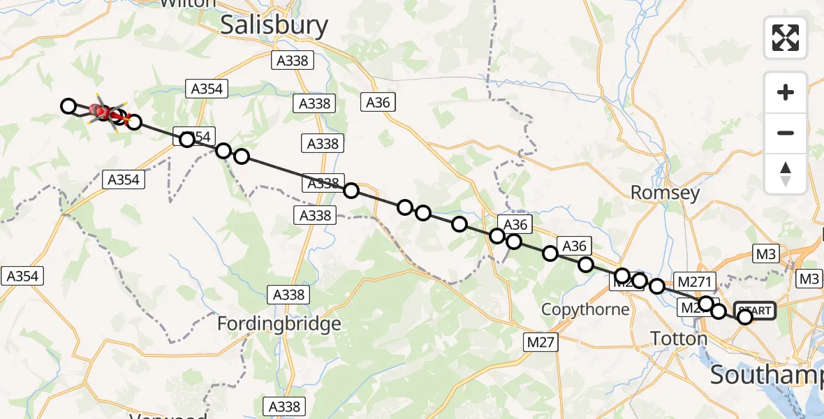
On Sunday, 3 May 2026 at 15:06, a Air Ambulance Helicopter departed from University Hospital Southampton to Broad Chalke. It was the Air Ambulance Helicopter with registration number G-WLTS. The flight lasted 15 minutes. During that period, the aircraft travelled 26 miles at an average speed of 102 miles per hour at a maximum altitude of 1225 feet.
Helicopter: G-WLTS
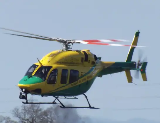
The helicopter G-WLTS is used as a air ambulance helicopter. The main purpose of this aircraft is to transport a Mobile Medical Team to an incident as quickly as possible, enabling the trauma doctor to provide immediate first aid on site. The aircraft is flying this flight as Air Ambulance Helicopter.
Photo: James
26 miles
1225 feet
102 mph
16 minutes
15:06
15:21

Route
Knighton Road, Wiltshire15:21
Broad Chalke, Wiltshire15:21
Chalk Pyt Farm Airstrip15:20
Broad Chalke, Wiltshire15:19
Bishopstone, Wiltshire15:19
Broad Chalke, Wiltshire15:19
Bishopstone, Wiltshire15:18
Coombe Bissett, Wiltshire15:17
Odstock, Wiltshire15:17
Downton, Wiltshire15:16
Lover, Wiltshire15:15
Landford, Wiltshire15:15
Nomansland, Wiltshire15:14
Landford, Wiltshire15:14
Plaitford, Wiltshire15:13
Wellow, Hampshire15:13
Copythorne, Hampshire15:12
New Forest, Hampshire15:12
Romsey, Hampshire15:12
Test Valley, Hampshire15:11
Nursling, Hampshire15:11
Wimpson, Southampton15:10
Old Shirley, Southampton15:10
University Hospital Southampton, Southampton15:09
University Hospital Southampton, Southampton15:06
Live flights
Today
Helicopter flights on your website?
You can easily display helicopter flights on your own website. Use the embed code.
