Air Ambulance Helicopter to YAA Nostell Helicopter Port
Saturday, 2 May 2026 | 13:35 | From Normanton and Altofts
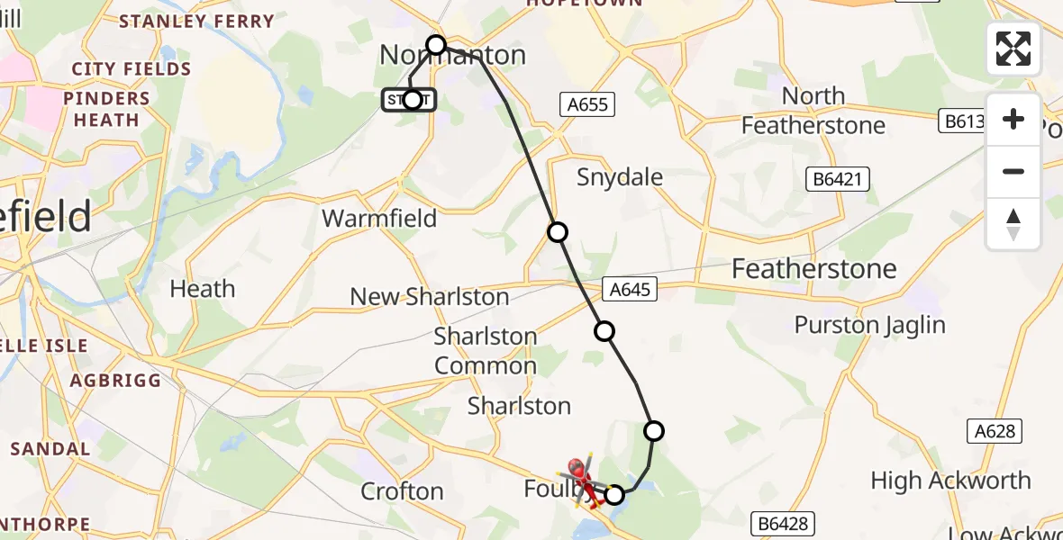
On Saturday, 2 May 2026 at 13:35, a Air Ambulance Helicopter departed from Normanton and Altofts to YAA Nostell Helicopter Port. It was the Air Ambulance Helicopter with registration number G-YAAA. The flight lasted 5 minutes. During that period, the aircraft travelled 4 miles at an average speed of 50 miles per hour at a maximum altitude of 900 feet.
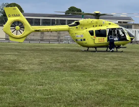
Helicopter: G-YAAA
The helicopter G-YAAA is used as a air ambulance helicopter. The main purpose of this aircraft is to transport a Mobile Medical Team to an incident as quickly as possible, enabling the trauma doctor to provide immediate first aid on site. The aircraft is flying this flight as Air Ambulance Helicopter.
Photo: Jennifer Petrie
5 miles
900 feet
50 mph
6 minutes
13:35
13:40

Route
YAA Nostell Helicopter Port, Foulby, Nostell, Yorkshire13:40
YAA Nostell Helicopter Port, Foulby, Nostell, Yorkshire13:39
Wragby, Wakefield13:39
Sharlston, Wakefield13:38
Featherstone, Wakefield13:38
Normanton and Altofts, Wakefield13:36
Newland Lane, West Yorkshire - Wakefield13:35
Altofts, Wakefield13:35
Normanton and Altofts, West Yorkshire - Wakefield13:35
Live flights
Police Helicopter on its way from Wrenthorpe31 Jul 22:31
Today
Police Helicopter to Sigingstone, St Mary Church31 Jul 22:06
Air Ambulance Helicopter to Southampton Airport31 Jul 21:53
Police Helicopter to MOD St Athan31 Jul 21:42
Police Helicopter to Inner Seas31 Jul 21:41
Air Ambulance Helicopter to RAF Northolt31 Jul 21:38
Police Helicopter to Manchester Barton Aerodrome31 Jul 21:33
Helicopter flights on your website?
You can easily display helicopter flights on your own website. Use the embed code.
