Air Ambulance Helicopter to Chalk Farm, The Broad Walk
Saturday, 2 May 2026 | 12:48 | From Elstree Airfield
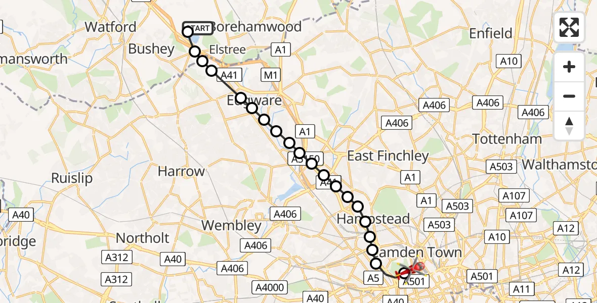
On Saturday, 2 May 2026 at 12:48, a Air Ambulance Helicopter departed from Elstree Airfield to Chalk Farm. It was the Air Ambulance Helicopter with registration number G-CPTZ. The flight lasted 13 minutes. During that period, the aircraft travelled 13 miles at an average speed of 60 miles per hour at a maximum altitude of 1125 feet.
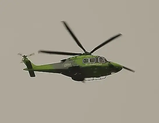
Helicopter: G-CPTZ
The helicopter G-CPTZ is used as an ambulance helicopter. The helicopter is equipped with a stretcher for transporting patients. The helicopter is often used to transport to hospitals.
Photo: simon butler
13 miles
1125 feet
60 mph
13 minutes
12:48
13:01

Route
The Broad Walk, Greater London - Westminster13:01
Chalk Farm, Westminster13:00
City of Westminster, Westminster13:00
City of Westminster, Camden12:59
South Hampstead, Camden12:59
West Hampstead, Camden12:59
Camden, Camden12:59
Golders Green, Barnet12:58
Brent Cross, Barnet12:58
Hendon Central, Barnet12:58
Hendon, Barnet12:58
Hendon Central, Barnet12:57
Colindale, Barnet12:57
Mill Hill, Barnet12:57
Colindale, Barnet12:57
Barnet, Barnet12:56
Harrow, Harrow12:56
Stanmore, Harrow12:55
Harrow, Harrow12:55
Hertfordshire, Hertfordshire12:55
Aldenham, Hertfordshire12:54
Elstree Airfield, Borehamwood, Hertfordshire12:54
Elstree Airfield, Borehamwood, Hertfordshire12:48
Live flights
Today
Helicopter flights on your website?
You can easily display helicopter flights on your own website. Use the embed code.
